Transport Functions
Road
Multimodal
Hub Profile
Place type
Local administrative seat
Region
Lower Saxony
Population
2,661
Time zone
Europe/Berlin
Elevation
62 m
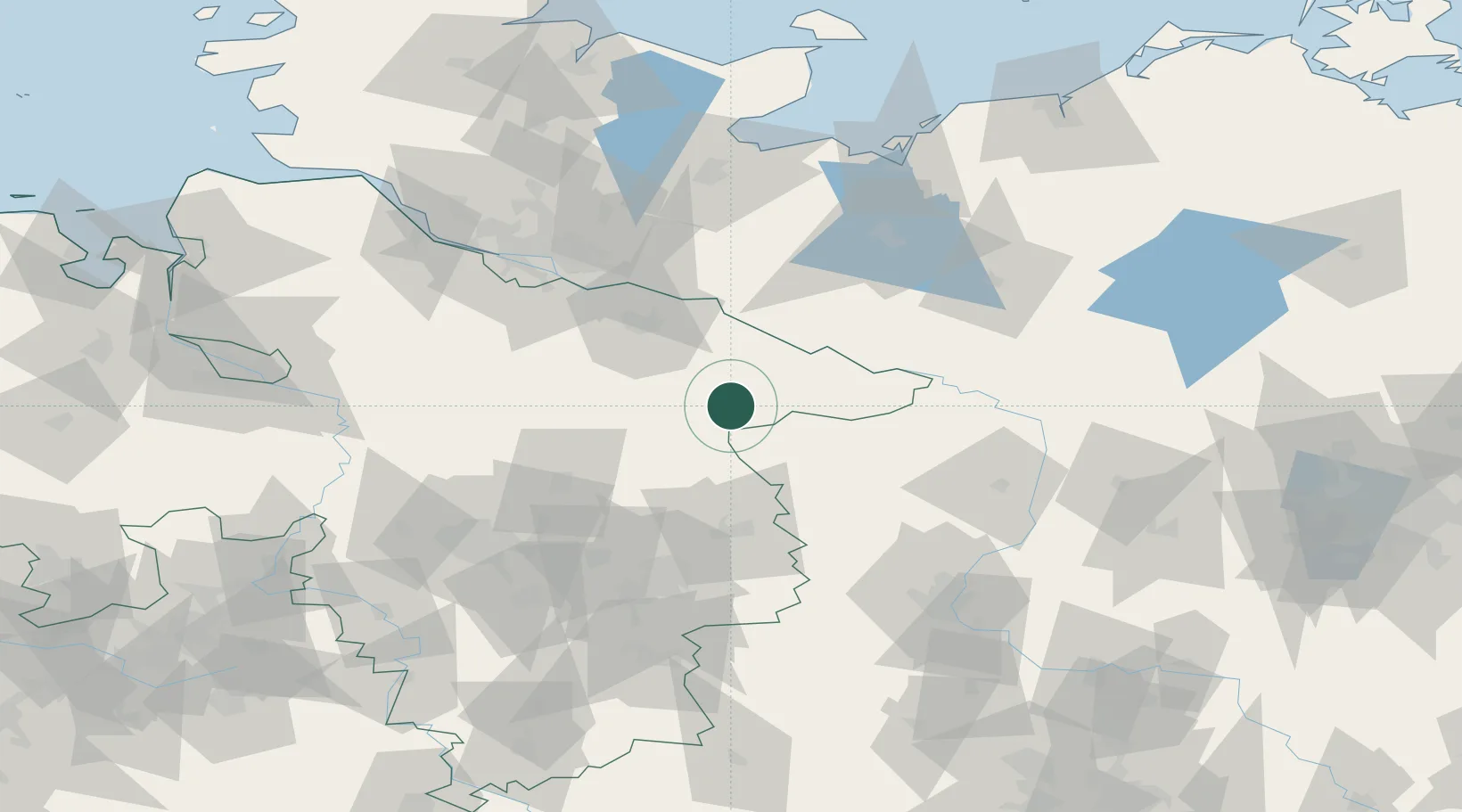
Location
Nearby Logistics Neighbours
Cities
- 1Rosche6 km
- 2Bodenteich11 km
- 3Wrestedt13 km
- 4Uelzen15 km
- 5Luckau (Wendland)19 km
Ports
- 1Hamburg88 km
- 2Lubeck106 km
- 3Butzfleth115 km
- 4Lubeck-Travemunde115 km
- 5Wismar117 km
Airports
- 1Faßberg Air Base39 km
- 2Celle Army Airfield63 km
- 3Braunschweig-Wolfsburg Airport70 km
- 4Hannover Airport90 km
- 5Hamburg-Finkenwerder Airport91 km
Trade Zones
DatabookThe Record of Consolidated Knowledge
Germany beyond logistics?