Transport Functions
Rail
Road
Hub Profile
Place type
Populated place
Region
Bavaria
Population
17,132
Time zone
Europe/Berlin
Elevation
546 m
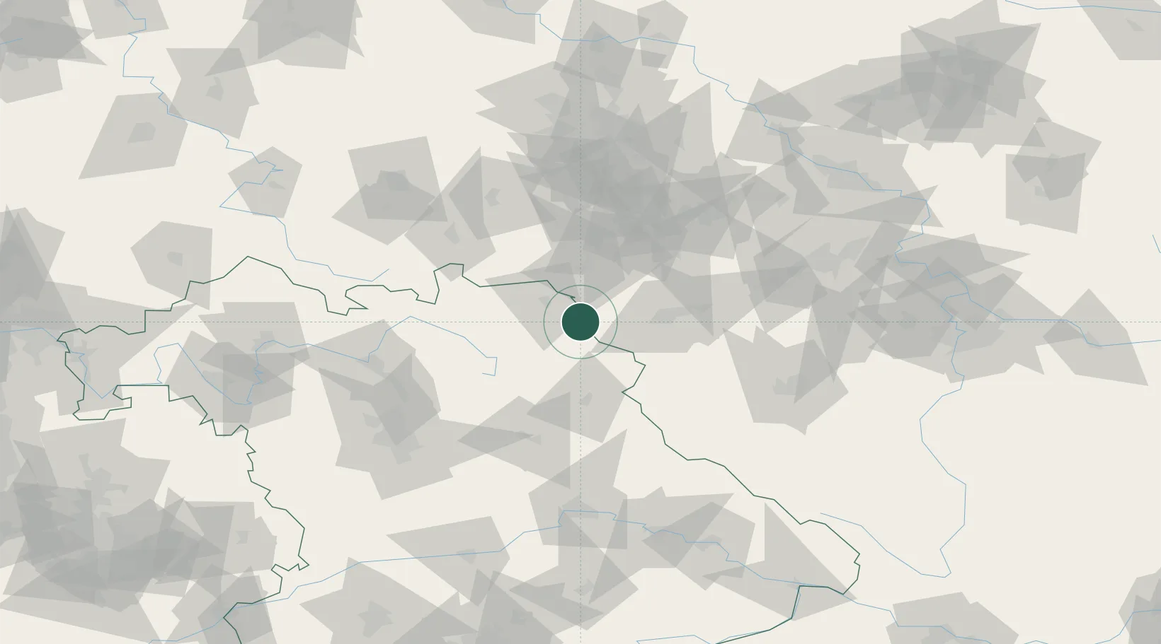
Location
Nearby Logistics Neighbours
Cities
- 1Polna U Jihlavy9 km
- 2Marktleuthen10 km
- 3Rehau12 km
- 4Schirnding12 km
- 5Arzberg12 km
Airports
- 1Hof-Plauen Airport24 km
- 2Bayreuth Airport41 km
- 3Grafenwöhr Army Air Field54 km
- 4Karlovy Vary Airport56 km
- 5Bamberg-Breitenau Airfield91 km
Trade Zones
DatabookThe Record of Consolidated Knowledge
Germany beyond logistics?