Transport Functions
Multimodal
Hub Profile
Place type
Populated place
Region
Bavaria
Time zone
Europe/Berlin
Elevation
493 m
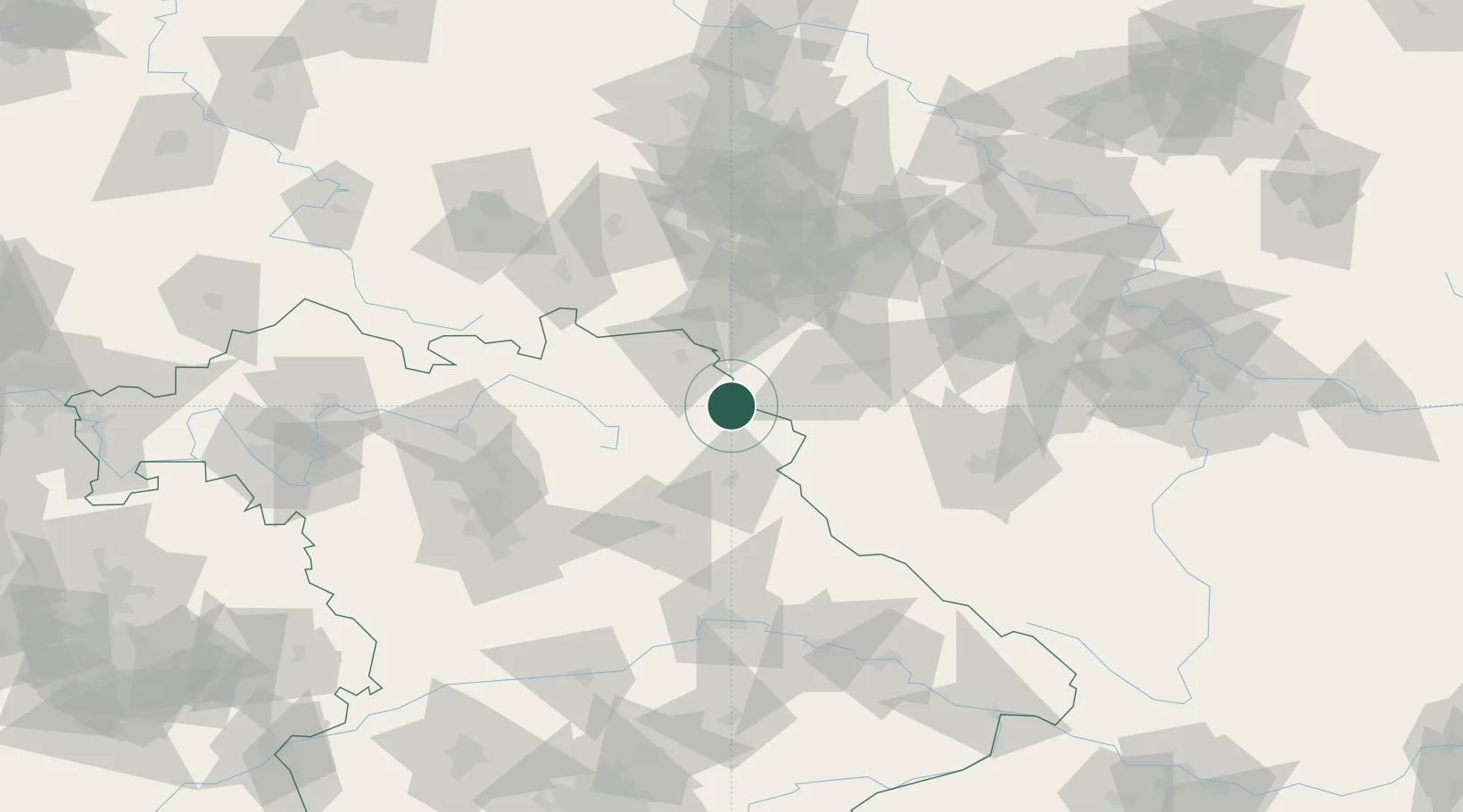
Location
Nearby Logistics Neighbours
Cities
- 1Arzberg3 km
- 2Schirnding6 km
- 3Pechbrunn9 km
- 4Polna U Jihlavy13 km
- 5Selb13 km
Airports
- 1Hof-Plauen Airport35 km
- 2Bayreuth Airport38 km
- 3Grafenwöhr Army Air Field42 km
- 4Karlovy Vary Airport56 km
- 5Plzeň-Líně Airport90 km
Trade Zones
DatabookThe Record of Consolidated Knowledge
Germany beyond logistics?