Transport Functions
Multimodal
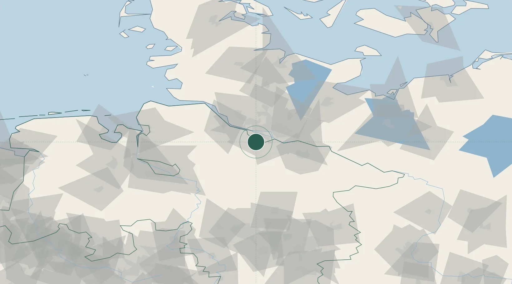
Hub Profile
Place type
Populated place
Region
Hamburg
Time zone
Europe/Berlin
Elevation
4 m
Location
Nearby Logistics Neighbours
Cities
- 1Neu Wulmstorf7 km
- 2Lindhorst9 km
- 3Buchholz in der Nordheide9 km
- 4Buchholz9 km
- 5Harburg10 km
Ports
- 1Hamburg16 km
- 2Butzfleth35 km
- 3Gluckstadt50 km
- 4Itzehoe60 km
- 5Brunsbuttel Elbahafen69 km
Airports
Trade Zones
DatabookThe Record of Consolidated Knowledge
Germany beyond logistics?