Transport Functions
Port
Hub Profile
Place type
Urban district
Region
Hamburg
Population
169,221
Time zone
Europe/Berlin
Elevation
10 m
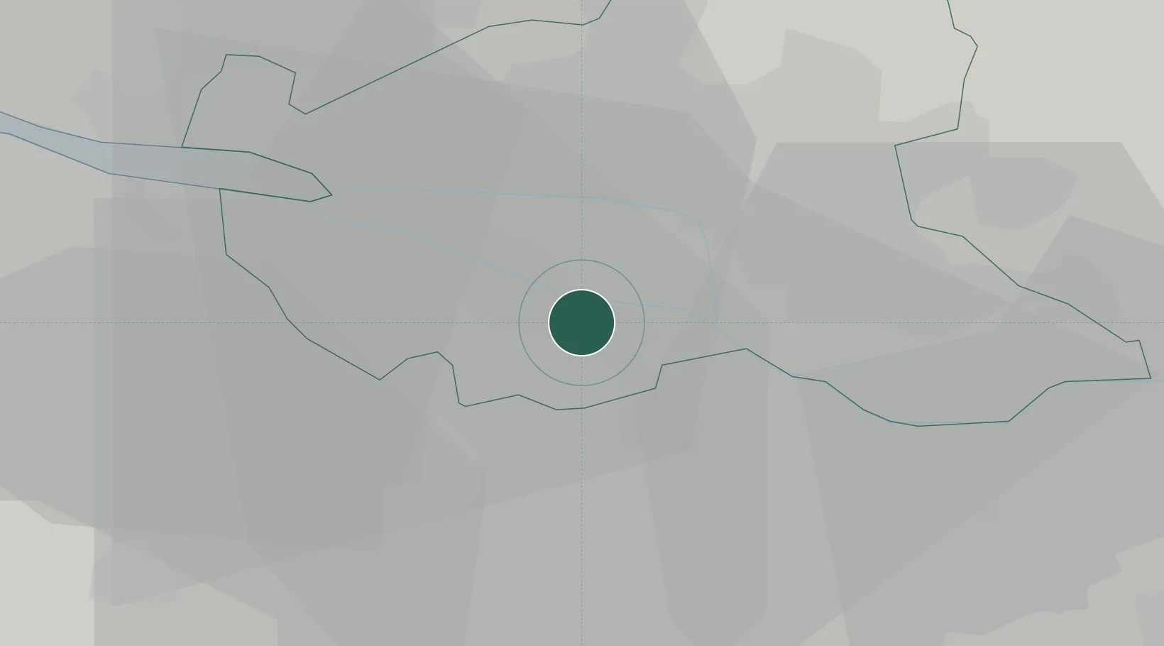
Location
Nearby Logistics Neighbours
Cities
- 1Hamburg6 km
- 2Bullenhausen7 km
- 3Altenwerder7 km
- 4Oortkaten9 km
- 5Lindhorst9 km
Ports
- 1Hamburg10 km
- 2Butzfleth37 km
- 3Gluckstadt51 km
- 4Itzehoe59 km
- 5Lubeck66 km
Airports
Trade Zones
DatabookThe Record of Consolidated Knowledge
Germany beyond logistics?