UN/LOCODE hub · Germany
DEBHU

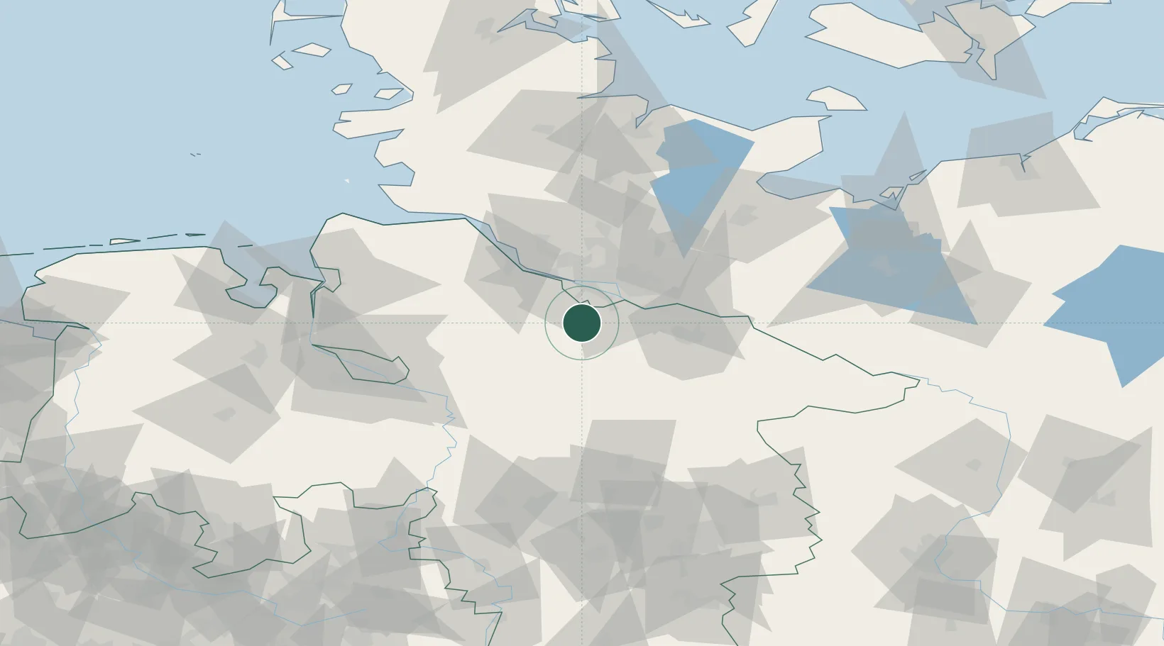
Buchholz in der Nordheide

53.3333°, 9.8667°
40,849
Population
2
Transport functions

Transport Functions

Rail
Road
UN/LOCODE

Hub Profile

Place type
Populated place
GeoNames
Region
Lower Saxony
GeoNames
Population
40,849
GeoNames
Time zone
Europe/Berlin
GeoNames
Elevation
73 m
GeoNames

Location

Location of DEBHU
Natural Earth 10m (public domain) · Lower Saxony · DEBHU · 53.33, 9.87GoogleOSMYandex

Nearby Logistics Neighbours

Cities
  1. 1Buchholz0 km
  2. 2Drestedt7 km
  3. 3Rosengarten9 km
  4. 4Handeloh10 km
  5. 5Lindhorst10 km
Nearest neighbours — logibook spatial index (haversine) over the source coordinates
Ports
  1. 1Hamburg25 km
  2. 2Butzfleth42 km
  3. 3Gluckstadt58 km
  4. 4Itzehoe69 km
  5. 5Neuhaus76 km
Nearest neighbours — logibook spatial index (haversine) over the source coordinates
Airports
  1. 1Hamburg-Finkenwerder Airport23 km
  2. 2Hamburg Helmut Schmidt Airport34 km
  3. 3Uetersen-Heist Airfield36 km
  4. 4Faßberg Air Base51 km
  5. 5Lübeck Blankensee Airport77 km
Nearest neighbours — logibook spatial index (haversine) over the source coordinates
Trade Zones
  1. 1Freeport of Bremerhaven (Freihafen Bremerhaven)78 km
  2. 2Freeport of Cuxhaven (Freihafen Cuxhaven)102 km
  3. 3Freeport of Kiel113 km
  4. 4Freeport of Emden178 km
  5. 5Freeport of Duisburg306 km
Nearest neighbours — logibook spatial index (haversine) over the source coordinates
DatabookThe Record of Consolidated Knowledge
Germany beyond logistics?
Browse databook

All Sources

LocationsUN/LOCODE
UN/LOCODE — free
LocationsGeoNames
CC BY 4.0
Portsthe NGA World Port Index
Public domain (US gov)
AirportsOurAirports
Public domain
Trade Zonesthe World Bank SEZ database
CC BY 4.0
Trade ZonesOpen Zone Map
CC BY
← Germany locations