Transport Functions
Multimodal
Hub Profile
Place type
Populated place
Region
Lower Saxony
Time zone
Europe/Berlin
Elevation
11 m
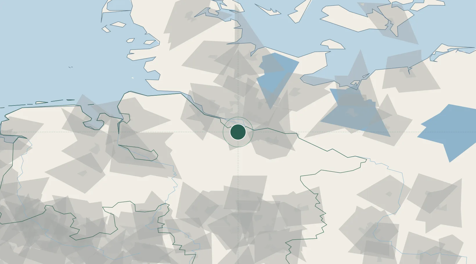
Location
Nearby Logistics Neighbours
Cities
- 1Ramelsloh6 km
- 2Rosengarten9 km
- 3Stelle9 km
- 4Harburg9 km
- 5Oortkaten10 km
Ports
- 1Hamburg19 km
- 2Butzfleth43 km
- 3Gluckstadt58 km
- 4Itzehoe67 km
- 5Lubeck73 km
Airports
Trade Zones
DatabookThe Record of Consolidated Knowledge
Germany beyond logistics?