Transport Functions
Rail
Road
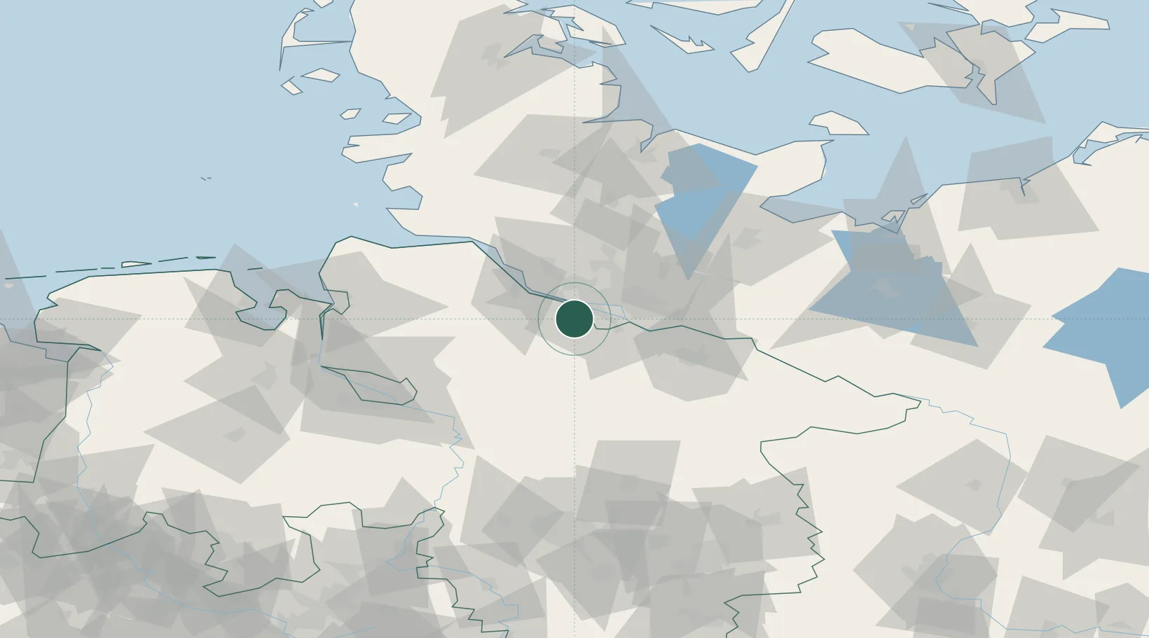
Hub Profile
Place type
Local administrative seat
Region
Lower Saxony
Population
20,150
Time zone
Europe/Berlin
Elevation
14 m
Location
Nearby Logistics Neighbours
Cities
- 1Buxtehude7 km
- 2Rosengarten7 km
- 3Finkenwerder8 km
- 4Altenwerder10 km
- 5Hamburg12 km
Ports
- 1Hamburg13 km
- 2Butzfleth28 km
- 3Gluckstadt43 km
- 4Itzehoe53 km
- 5Brunsbuttel Elbahafen62 km
Airports
Trade Zones
DatabookThe Record of Consolidated Knowledge
Germany beyond logistics?