Transport Functions
Rail
Road
Multimodal
Hub Profile
Region
BY
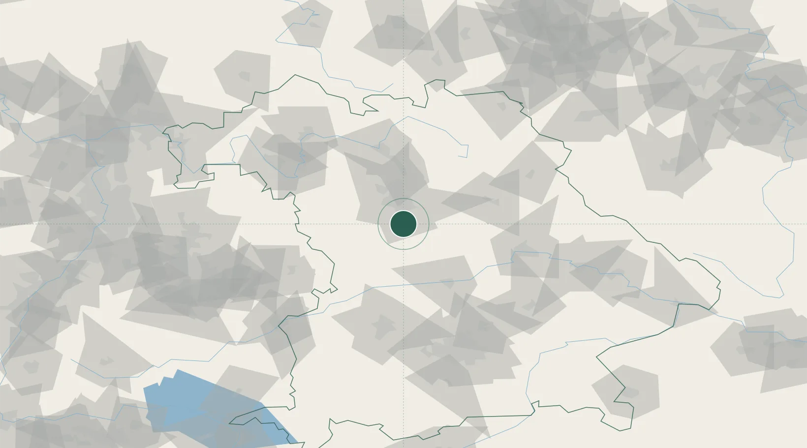
Location
Nearby Logistics Neighbours
Cities
- 1Schwanstetten5 km
- 2Hilpoltstein13 km
- 3Nürnberg15 km
- 4Schwarzenbruck16 km
- 5Rohr (Roth)16 km
Ports
- 1Nogaro421 km
- 2Monfalcone430 km
- 3Grado431 km
- 4Porto Di Lido-Venezia440 km
- 5Trieste450 km
Airports
- 1Nuremberg Airport26 km
- 2Hohenfels Army Airfield56 km
- 3Neuburg Air Base63 km
- 4Ingolstadt Manching Airport70 km
- 5Bamberg-Breitenau Airfield74 km
Trade Zones
- 1Freeport of Deggendorf142 km
- 2Podbořany Industrial Zone199 km
- 3Žatec - Triangle Strategic Industrial Zone216 km
- 4Most - Joseph Industrial Zone229 km
- 5ZFU Neuhof255 km
DatabookThe Record of Consolidated Knowledge
Germany beyond logistics?