UN/LOCODE hub · Germany
DERMF

Rohr (Roth)

49.3500°, 10.8833°
1
Transport functions

Transport Functions

Multimodal
UN/LOCODE

Hub Profile

Region
BY
GeoNames

Location

Location of DERMF
Natural Earth 10m (public domain) · BY · DERMF · 49.35, 10.88GoogleOSMYandex

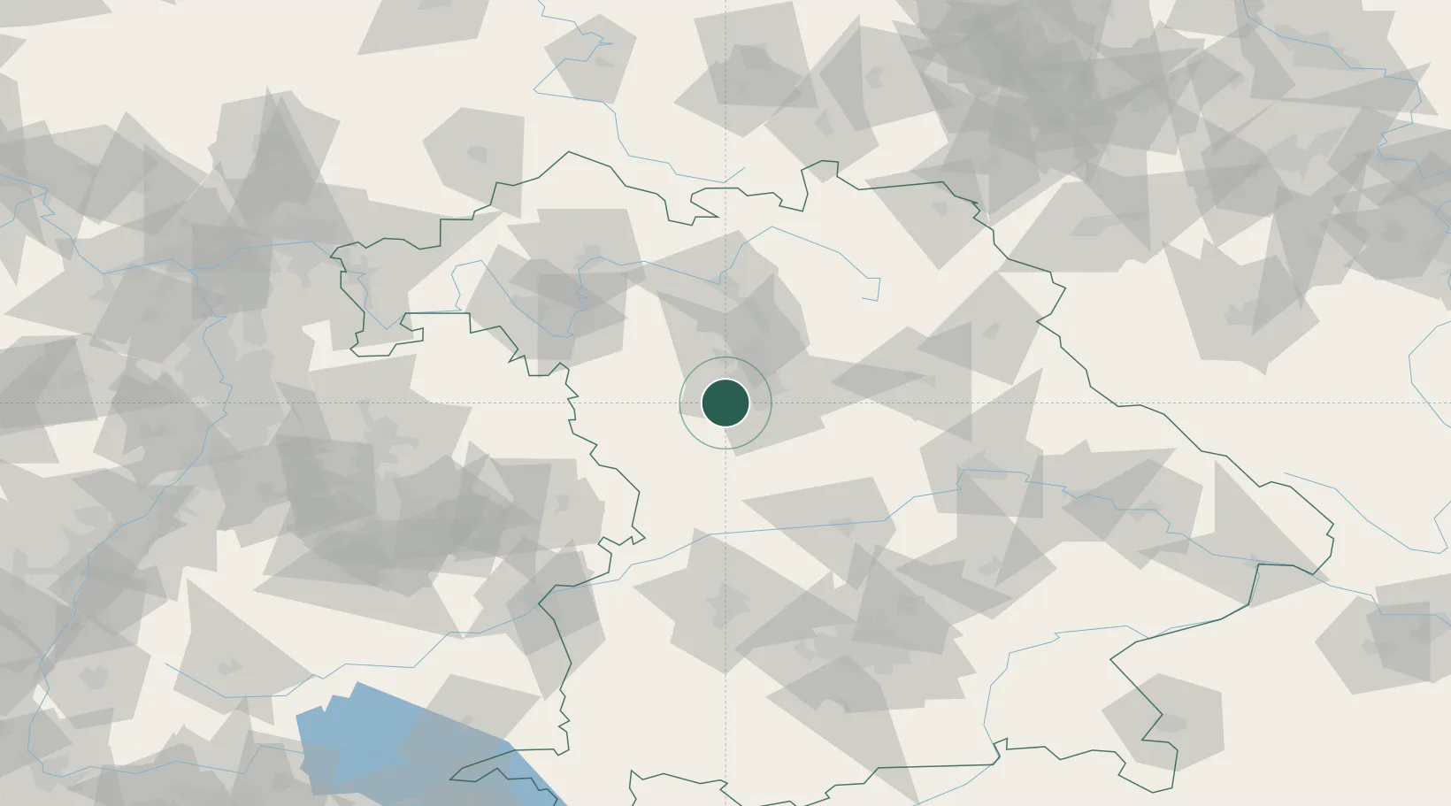
Nearby Logistics Neighbours

Cities
  1. 1Rosstal6 km
  2. 2Ammerndorf6 km
  3. 3Heilsbronn8 km
  4. 4Grosshabersdorf9 km
  5. 5Oberasbach bei Nürnberg10 km
Nearest neighbours — logibook spatial index (haversine) over the source coordinates
Ports
  1. 1Nogaro435 km
  2. 2Monfalcone444 km
  3. 3Grado445 km
  4. 4Bremen446 km
  5. 5Porto Di Lido-Venezia453 km
Nearest neighbours — logibook spatial index (haversine) over the source coordinates
Airports
  1. 1Nuremberg Airport22 km
  2. 2Bamberg-Breitenau Airfield64 km
  3. 3Niederstetten Army Air Base67 km
  4. 4Hohenfels Army Airfield71 km
  5. 5Neuburg Air Base75 km
Nearest neighbours — logibook spatial index (haversine) over the source coordinates
Trade Zones
  1. 1Freeport of Deggendorf157 km
  2. 2Podbořany Industrial Zone206 km
  3. 3Žatec - Triangle Strategic Industrial Zone222 km
  4. 4Most - Joseph Industrial Zone234 km
  5. 5ZFU Neuhof245 km
Nearest neighbours — logibook spatial index (haversine) over the source coordinates
DatabookThe Record of Consolidated Knowledge
Germany beyond logistics?
Browse databook

All Sources

LocationsUN/LOCODE
UN/LOCODE — free
Portsthe NGA World Port Index
Public domain (US gov)
AirportsOurAirports
Public domain
Trade Zonesthe World Bank SEZ database
CC BY 4.0
Trade ZonesOpen Zone Map
CC BY
← Germany locations