Transport Functions
Port
Rail
Road
Multimodal
Hub Profile
Place type
Local administrative seat
Region
Bavaria
Population
8,690
Time zone
Europe/Berlin
Elevation
364 m
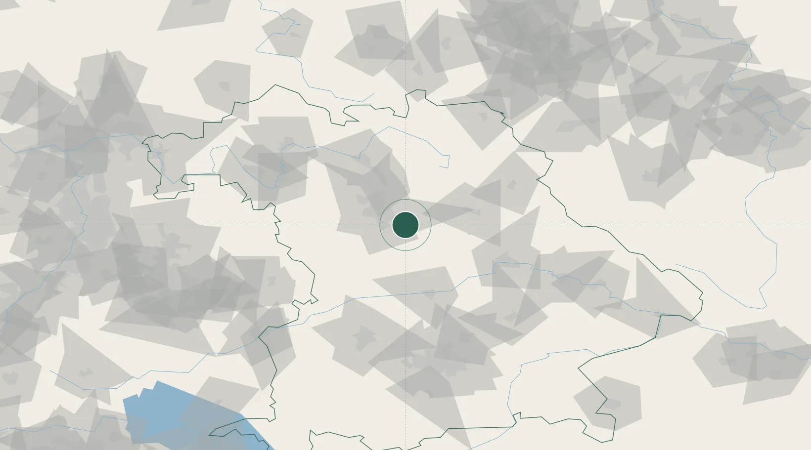
Location
Nearby Logistics Neighbours
Cities
- 1Altdorf6 km
- 2Postbauer-Heng9 km
- 3Schwanstetten11 km
- 4Schwaig14 km
- 5Röthenbach an der Pegnitz15 km
Ports
- 1Nogaro424 km
- 2Monfalcone433 km
- 3Grado434 km
- 4Porto Di Lido-Venezia446 km
- 5Trieste452 km
Airports
- 1Nuremberg Airport21 km
- 2Hohenfels Army Airfield45 km
- 3Grafenwöhr Army Air Field63 km
- 4Bamberg-Breitenau Airfield68 km
- 5Neuburg Air Base71 km
Trade Zones
- 1Freeport of Deggendorf133 km
- 2Podbořany Industrial Zone183 km
- 3Žatec - Triangle Strategic Industrial Zone200 km
- 4Most - Joseph Industrial Zone213 km
- 5ZFU Neuhof270 km
DatabookThe Record of Consolidated Knowledge
Germany beyond logistics?