Transport Functions
Multimodal
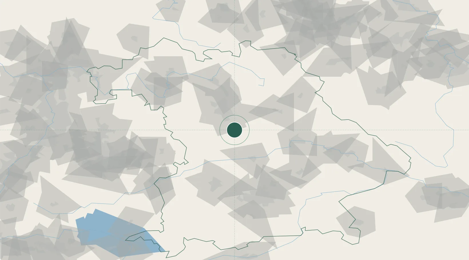
Hub Profile
Place type
Populated place
Region
Bavaria
Population
13,069
Time zone
Europe/Berlin
Elevation
377 m
Location
Nearby Logistics Neighbours
Cities
- 1Freystadt10 km
- 2Thannhausen12 km
- 3Büchenbach (Roth)13 km
- 4Schwanstetten14 km
- 5Postbauer-Heng18 km
Ports
- 1Nogaro409 km
- 2Monfalcone418 km
- 3Grado419 km
- 4Porto Di Lido-Venezia429 km
- 5Trieste438 km
Airports
- 1Nuremberg Airport36 km
- 2Hohenfels Army Airfield48 km
- 3Neuburg Air Base53 km
- 4Ingolstadt Manching Airport58 km
- 5Grafenwöhr Army Air Field79 km
Trade Zones
- 1Freeport of Deggendorf131 km
- 2Podbořany Industrial Zone198 km
- 3Žatec - Triangle Strategic Industrial Zone215 km
- 4Most - Joseph Industrial Zone228 km
- 5ZFU Neuhof260 km
DatabookThe Record of Consolidated Knowledge
Germany beyond logistics?