Transport Functions
Multimodal
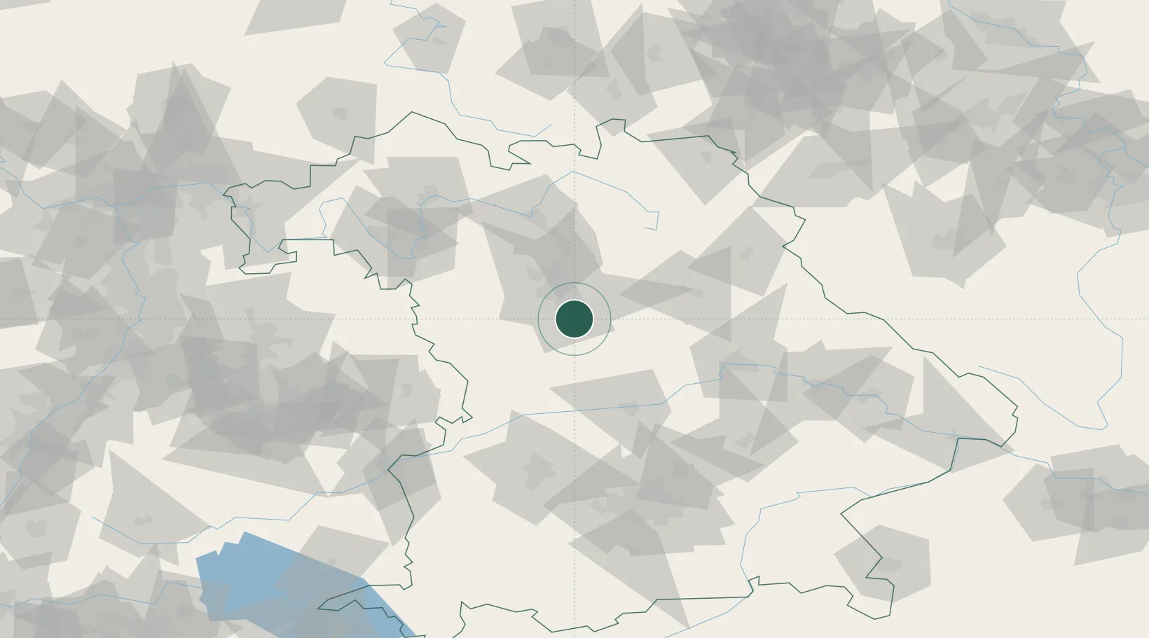
Hub Profile
Region
BY
Location
Nearby Logistics Neighbours
Cities
- 1Büchenbach (Roth)5 km
- 2Schwarzenbruck11 km
- 3Nürnberg12 km
- 4Hilpoltstein14 km
- 5Postbauer-Heng17 km
Ports
- 1Nogaro423 km
- 2Monfalcone432 km
- 3Grado433 km
- 4Porto Di Lido-Venezia443 km
- 5Trieste451 km
Airports
- 1Nuremberg Airport22 km
- 2Hohenfels Army Airfield53 km
- 3Neuburg Air Base66 km
- 4Bamberg-Breitenau Airfield71 km
- 5Ingolstadt Manching Airport72 km
Trade Zones
- 1Freeport of Deggendorf140 km
- 2Podbořany Industrial Zone194 km
- 3Žatec - Triangle Strategic Industrial Zone211 km
- 4Most - Joseph Industrial Zone224 km
- 5ZFU Neuhof259 km
DatabookThe Record of Consolidated Knowledge
Germany beyond logistics?