Transport Functions
Multimodal
Hub Profile
Place type
Local administrative seat
Region
Baden-Wurttemberg
Population
4,026
Time zone
Europe/Berlin
Elevation
635 m
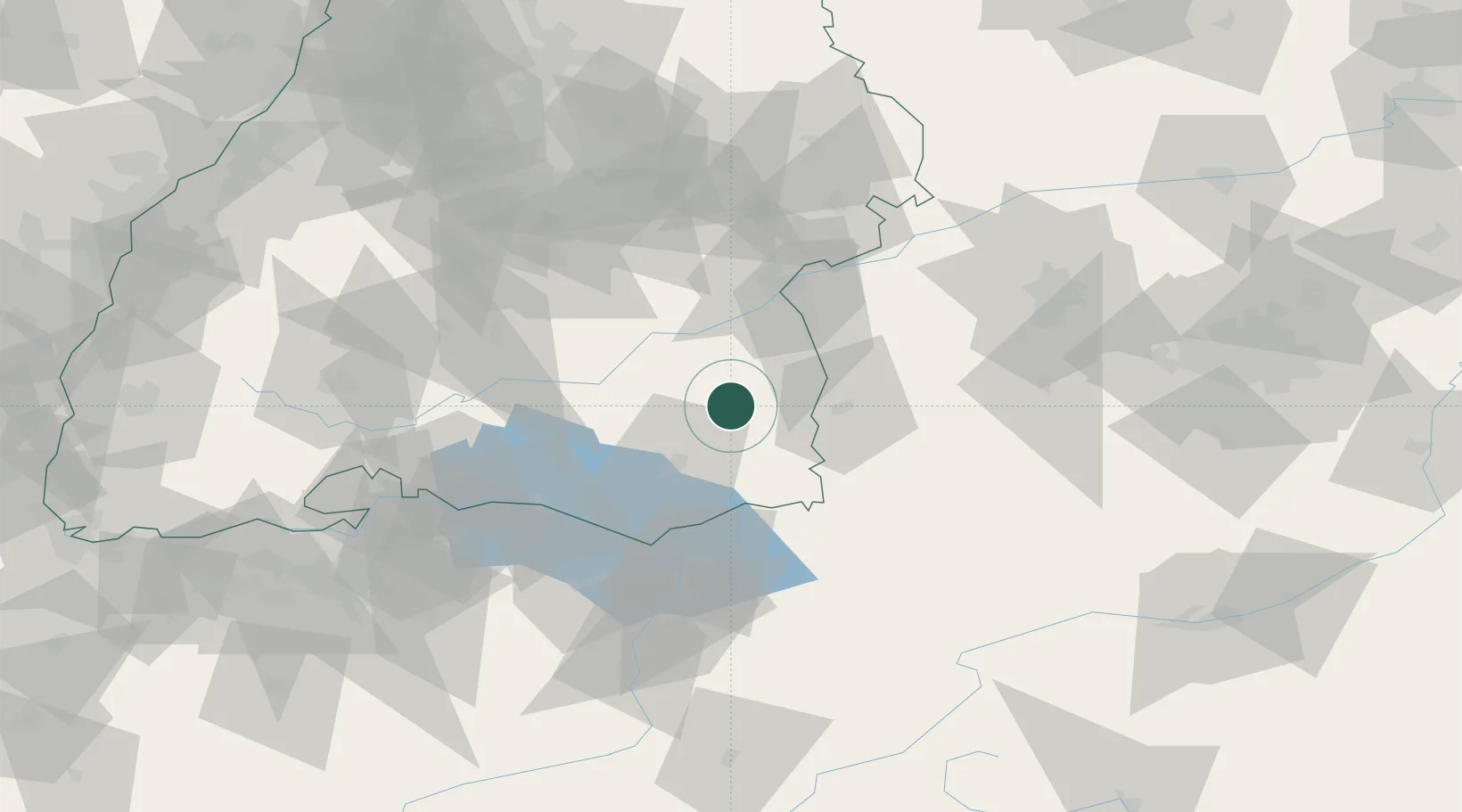
Location
Nearby Logistics Neighbours
Cities
- 1Bad Waldsee11 km
- 2Bad Wurzach13 km
- 3Rot an der Rot15 km
- 4Wolpertswende19 km
- 5Berg (Ravensburg)19 km
Ports
- 1Porto Di Lido-Venezia350 km
- 2Nogaro356 km
- 3Porto Di Chioggia361 km
- 4Grado368 km
- 5Monfalcone376 km
Airports
Trade Zones
- 1ZFU Neuhof163 km
- 2Livigno Free Trade Zone165 km
- 3ZFU Hautepierre171 km
- 4ZFU Mulhouse187 km
- 5ZFU Belfort228 km
DatabookThe Record of Consolidated Knowledge
Germany beyond logistics?