Transport Functions
Rail
Road
Hub Profile
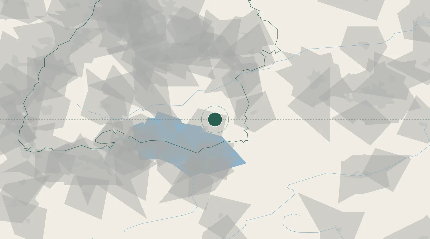
Place type
Populated place
Region
Baden-Wurttemberg
Population
19,840
Time zone
Europe/Berlin
Elevation
590 m
Location
Nearby Logistics Neighbours
Cities
- 1Berg (Ravensburg)10 km
- 2Wolpertswende10 km
- 3Eberhardzell11 km
- 4Baindt11 km
- 5Bad Wurzach11 km
Ports
- 1Porto Di Lido-Venezia345 km
- 2Nogaro354 km
- 3Porto Di Chioggia356 km
- 4Grado366 km
- 5Monfalcone374 km
Airports
Trade Zones
- 1Livigno Free Trade Zone156 km
- 2ZFU Neuhof163 km
- 3ZFU Hautepierre170 km
- 4ZFU Mulhouse181 km
- 5ZFU Belfort222 km
DatabookThe Record of Consolidated Knowledge
Germany beyond logistics?