UN/LOCODE hub · Germany
DEBKV

Berg (Ravensburg)

47.8333°, 9.7833°
2
Transport functions

Transport Functions

Road
Multimodal
UN/LOCODE

Hub Profile

Region
BW
GeoNames

Location

Location of DEBKV
Natural Earth 10m (public domain) · BW · DEBKV · 47.83, 9.78GoogleOSMYandex

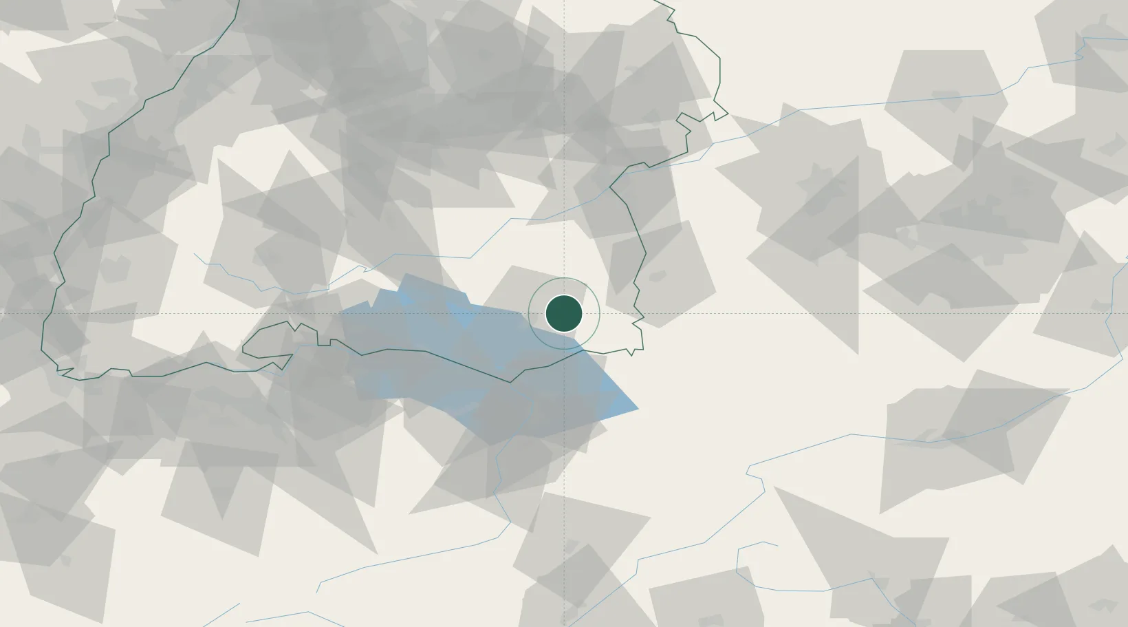
Nearby Logistics Neighbours

Cities
  1. 1Baindt9 km
  2. 2Bad Waldsee10 km
  3. 3Bad Wurzach11 km
  4. 4Schlier11 km
  5. 5Wolpertswende15 km
Nearest neighbours — logibook spatial index (haversine) over the source coordinates
Ports
  1. 1Porto Di Lido-Venezia336 km
  2. 2Nogaro346 km
  3. 3Porto Di Chioggia347 km
  4. 4Grado358 km
  5. 5Monfalcone366 km
Nearest neighbours — logibook spatial index (haversine) over the source coordinates
Airports
  1. 1Bodensee Airport Friedrichshafen27 km
  2. 2Memmingen Allgau Airport38 km
  3. 3Mengen-Hohentengen Airfield39 km
  4. 4Sankt Gallen Altenrhein Airport42 km
  5. 5Laupheim Air Base44 km
Nearest neighbours — logibook spatial index (haversine) over the source coordinates
Trade Zones
  1. 1Livigno Free Trade Zone147 km
  2. 2ZFU Neuhof169 km
  3. 3ZFU Hautepierre177 km
  4. 4ZFU Mulhouse183 km
  5. 5ZFU Belfort224 km
Nearest neighbours — logibook spatial index (haversine) over the source coordinates
DatabookThe Record of Consolidated Knowledge
Germany beyond logistics?
Browse databook

All Sources

LocationsUN/LOCODE
UN/LOCODE — free
Portsthe NGA World Port Index
Public domain (US gov)
AirportsOurAirports
Public domain
Trade Zonesthe World Bank SEZ database
CC BY 4.0
Trade ZonesOpen Zone Map
CC BY
← Germany locations