Transport Functions
Rail
Road
Multimodal
Hub Profile
Place type
Populated place
Region
Baden-Wurttemberg
Population
14,323
Time zone
Europe/Berlin
Elevation
651 m
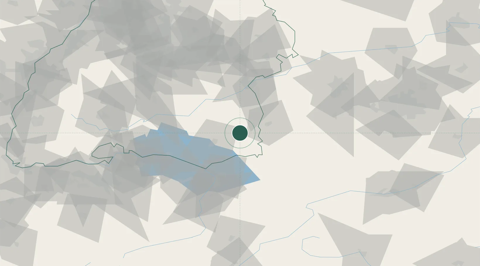
Location
Nearby Logistics Neighbours
Cities
- 1Bad Waldsee11 km
- 2Berg (Ravensburg)11 km
- 3Leutkirch im Allgäu11 km
- 4Eberhardzell13 km
- 5Rot an der Rot14 km
Ports
- 1Porto Di Lido-Venezia337 km
- 2Nogaro344 km
- 3Porto Di Chioggia349 km
- 4Grado356 km
- 5Monfalcone364 km
Airports
Trade Zones
- 1Livigno Free Trade Zone153 km
- 2ZFU Neuhof174 km
- 3ZFU Hautepierre181 km
- 4ZFU Mulhouse192 km
- 5ZFU Belfort233 km
DatabookThe Record of Consolidated Knowledge
Germany beyond logistics?