Transport Functions
Multimodal
Hub Profile
Place type
Local administrative seat
Region
Bavaria
Time zone
Europe/Berlin
Elevation
482 m
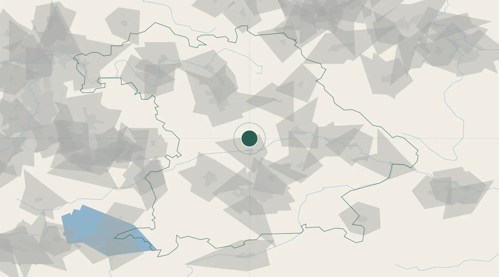
Location
Nearby Logistics Neighbours
Cities
- 1Kipfenberg5 km
- 2Dietfurt15 km
- 3Oberdolling15 km
- 4Eitensheim16 km
- 5Unterdolling17 km
Ports
- 1Nogaro376 km
- 2Monfalcone384 km
- 3Grado386 km
- 4Porto Di Lido-Venezia398 km
- 5Trieste404 km
Airports
- 1Ingolstadt Manching Airport25 km
- 2Neuburg Air Base30 km
- 3Hohenfels Army Airfield42 km
- 4Landshut Airfield64 km
- 5Augsburg Airport68 km
Trade Zones
- 1Freeport of Deggendorf107 km
- 2Podbořany Industrial Zone201 km
- 3Žatec - Triangle Strategic Industrial Zone221 km
- 4Most - Joseph Industrial Zone234 km
- 5ZFU Neuhof274 km
DatabookThe Record of Consolidated Knowledge
Germany beyond logistics?