Transport Functions
Road
Multimodal
Hub Profile
Place type
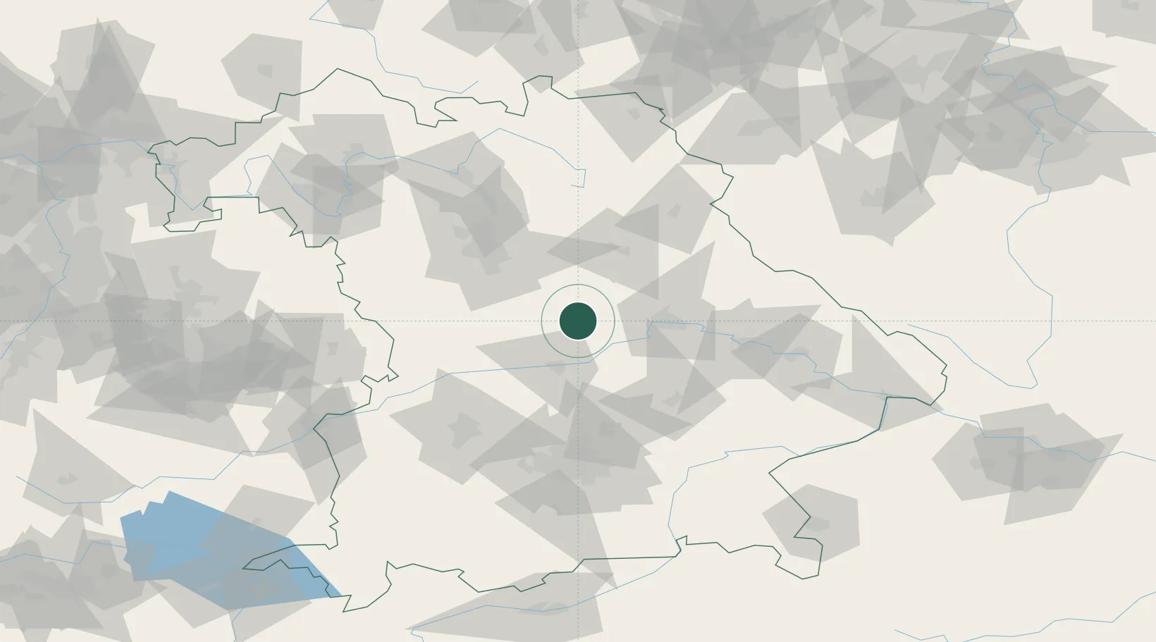
Populated place
Region
Bavaria
Population
6,161
Time zone
Europe/Berlin
Elevation
365 m
Location
Nearby Logistics Neighbours
Cities
- 1Denkendorf15 km
- 2Kipfenberg17 km
- 3Parsberg18 km
- 4Deining21 km
- 5Laaber22 km
Ports
- 1Nogaro383 km
- 2Monfalcone391 km
- 3Grado393 km
- 4Porto Di Lido-Venezia407 km
- 5Trieste410 km
Airports
- 1Hohenfels Army Airfield27 km
- 2Ingolstadt Manching Airport36 km
- 3Neuburg Air Base45 km
- 4Nuremberg Airport63 km
- 5Landshut Airfield67 km
Trade Zones
- 1Freeport of Deggendorf99 km
- 2Podbořany Industrial Zone187 km
- 3Žatec - Triangle Strategic Industrial Zone206 km
- 4Most - Joseph Industrial Zone219 km
- 5ZFU Neuhof285 km
DatabookThe Record of Consolidated Knowledge
Germany beyond logistics?