UN/LOCODE hub · Germany
DEBYO

Oberdolling

48.8333°, 11.5833°
2
Transport functions

Transport Functions

Road
Multimodal
UN/LOCODE

Hub Profile

Place type
Local administrative seat
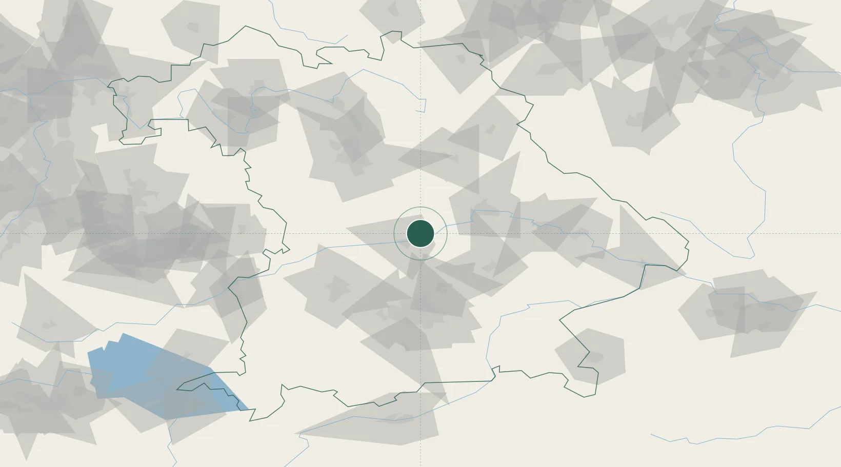
GeoNames
Region
Bavaria
GeoNames
Time zone
Europe/Berlin
GeoNames
Elevation
386 m
GeoNames

Location

Location of DEBYO
Natural Earth 10m (public domain) · Bavaria · DEBYO · 48.83, 11.58GoogleOSMYandex

Nearby Logistics Neighbours

Cities
  1. 1Unterdolling2 km
  2. 2Pförring8 km
  3. 3Vohburg an der Donau8 km
  4. 4Ernsgaden13 km
  5. 5Ingolstadt13 km
Nearest neighbours — logibook spatial index (haversine) over the source coordinates
Ports
  1. 1Nogaro362 km
  2. 2Monfalcone370 km
  3. 3Grado372 km
  4. 4Porto Di Lido-Venezia385 km
  5. 5Trieste390 km
Nearest neighbours — logibook spatial index (haversine) over the source coordinates
Airports
  1. 1Ingolstadt Manching Airport14 km
  2. 2Neuburg Air Base31 km
  3. 3Hohenfels Army Airfield46 km
  4. 4Landshut Airfield49 km
  5. 5Munich Airport55 km
Nearest neighbours — logibook spatial index (haversine) over the source coordinates
Trade Zones
  1. 1Freeport of Deggendorf97 km
  2. 2Podbořany Industrial Zone203 km
  3. 3Žatec - Triangle Strategic Industrial Zone223 km
  4. 4Most - Joseph Industrial Zone236 km
  5. 5Livigno Free Trade Zone279 km
Nearest neighbours — logibook spatial index (haversine) over the source coordinates
DatabookThe Record of Consolidated Knowledge
Germany beyond logistics?
Browse databook

All Sources

LocationsUN/LOCODE
UN/LOCODE — free
Portsthe NGA World Port Index
Public domain (US gov)
AirportsOurAirports
Public domain
Trade Zonesthe World Bank SEZ database
CC BY 4.0
Trade ZonesOpen Zone Map
CC BY
← Germany locations