Transport Functions
Multimodal
Hub Profile
Place type
Local administrative seat
Region
Bavaria
Time zone
Europe/Berlin
Elevation
449 m
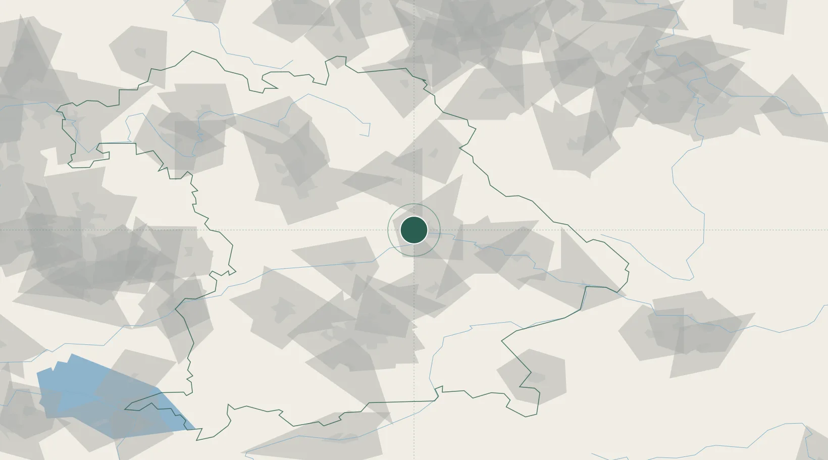
Location
Nearby Logistics Neighbours
Cities
- 1Babelsberg8 km
- 2Laaber9 km
- 3Pentling9 km
- 4Regensburg12 km
- 5Rendsburg12 km
Ports
- 1Nogaro376 km
- 2Monfalcone382 km
- 3Grado385 km
- 4Trieste400 km
- 5Porto Di Lido-Venezia405 km
Airports
- 1Hohenfels Army Airfield22 km
- 2Ingolstadt Manching Airport50 km
- 3Landshut Airfield60 km
- 4Neuburg Air Base69 km
- 5Grafenwöhr Army Air Field72 km
Trade Zones
DatabookThe Record of Consolidated Knowledge
Germany beyond logistics?