Transport Functions
Road
Multimodal
Hub Profile
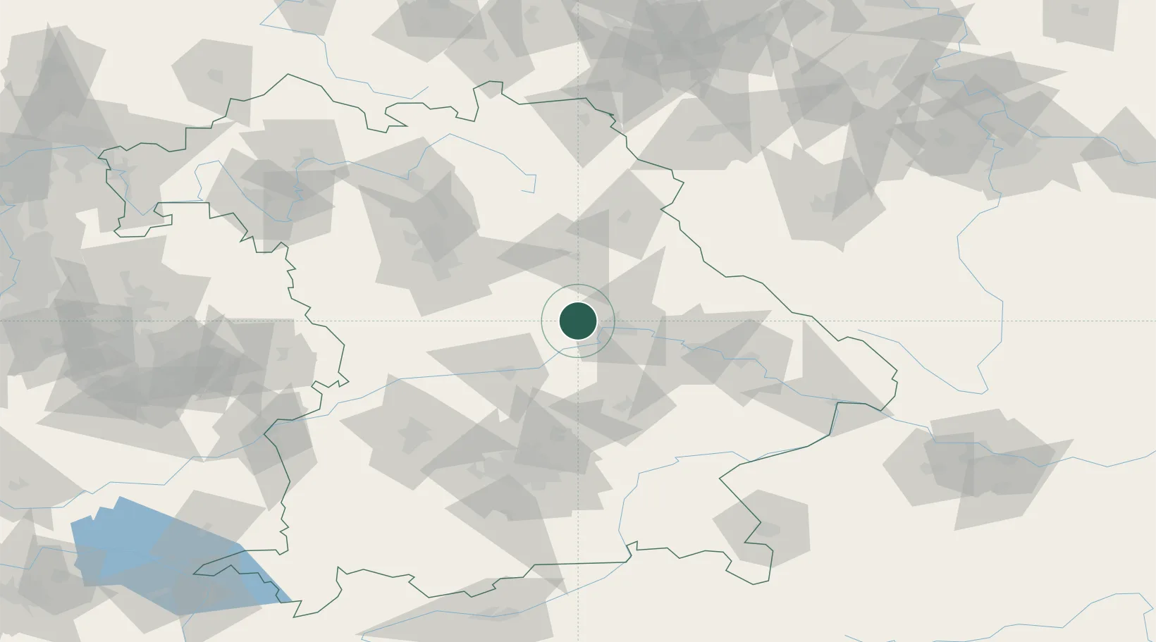
Place type
Populated place
Region
Bavaria
Time zone
Europe/Berlin
Elevation
426 m
Location
Nearby Logistics Neighbours
Cities
- 1Babelsberg2 km
- 2Pettendorf9 km
- 3Raitenbuch14 km
- 4Pentling16 km
- 5Parsberg17 km
Ports
- 1Nogaro380 km
- 2Monfalcone386 km
- 3Grado390 km
- 4Trieste405 km
- 5Porto Di Lido-Venezia408 km
Airports
- 1Hohenfels Army Airfield17 km
- 2Ingolstadt Manching Airport47 km
- 3Landshut Airfield63 km
- 4Neuburg Air Base63 km
- 5Grafenwöhr Army Air Field70 km
Trade Zones
DatabookThe Record of Consolidated Knowledge
Germany beyond logistics?