Transport Functions
Port
Road
Hub Profile
Place type
Urban district
Region
Brandenburg
Time zone
Europe/Berlin
Elevation
38 m
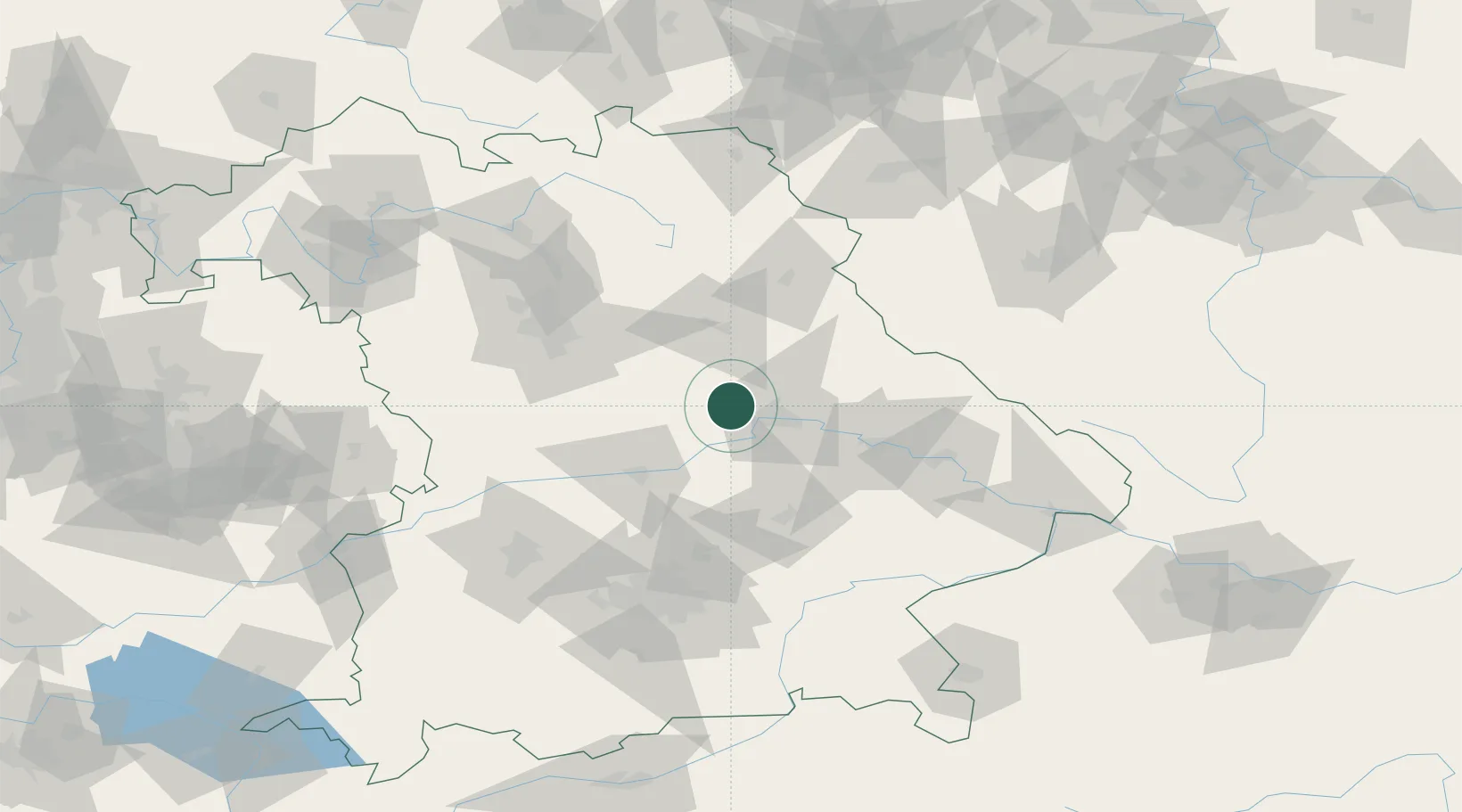
Location
Nearby Logistics Neighbours
Cities
- 1Laaber2 km
- 2Pettendorf8 km
- 3Raitenbuch12 km
- 4Burglengenfeld16 km
- 5Parsberg16 km
Ports
- 1Nogaro382 km
- 2Monfalcone387 km
- 3Grado391 km
- 4Trieste406 km
- 5Porto Di Lido-Venezia410 km
Airports
- 1Hohenfels Army Airfield16 km
- 2Ingolstadt Manching Airport49 km
- 3Landshut Airfield64 km
- 4Neuburg Air Base65 km
- 5Grafenwöhr Army Air Field69 km
Trade Zones
DatabookThe Record of Consolidated Knowledge
Germany beyond logistics?