Transport Functions
Multimodal
Hub Profile
Place type
Local administrative seat
Region
Bavaria
Population
4,275
Time zone
Europe/Berlin
Elevation
503 m
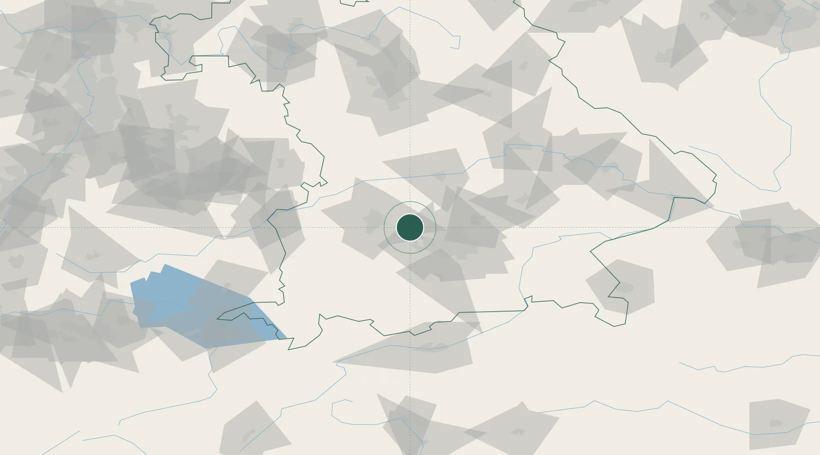
Location
Nearby Logistics Neighbours
Cities
- 1Wiedenzhausen5 km
- 2Altomünster8 km
- 3Mammendorf14 km
- 4Althegnenberg14 km
- 5Friedberg17 km
Ports
- 1Nogaro321 km
- 2Grado332 km
- 3Monfalcone333 km
- 4Porto Di Lido-Venezia336 km
- 5Porto Di Chioggia353 km
Airports
- 1Altstetten Ultralight Field7 km
- 2Augsburg Airport23 km
- 3Oberpfaffenhofen Airport27 km
- 4Lechfeld Air Base29 km
- 5Munich Airport44 km
Trade Zones
- 1Freeport of Deggendorf139 km
- 2Livigno Free Trade Zone215 km
- 3ZFU Neuhof255 km
- 4ZFU Hautepierre261 km
- 5Podbořany Industrial Zone266 km
DatabookThe Record of Consolidated Knowledge
Germany beyond logistics?