Transport Functions
Rail
Road
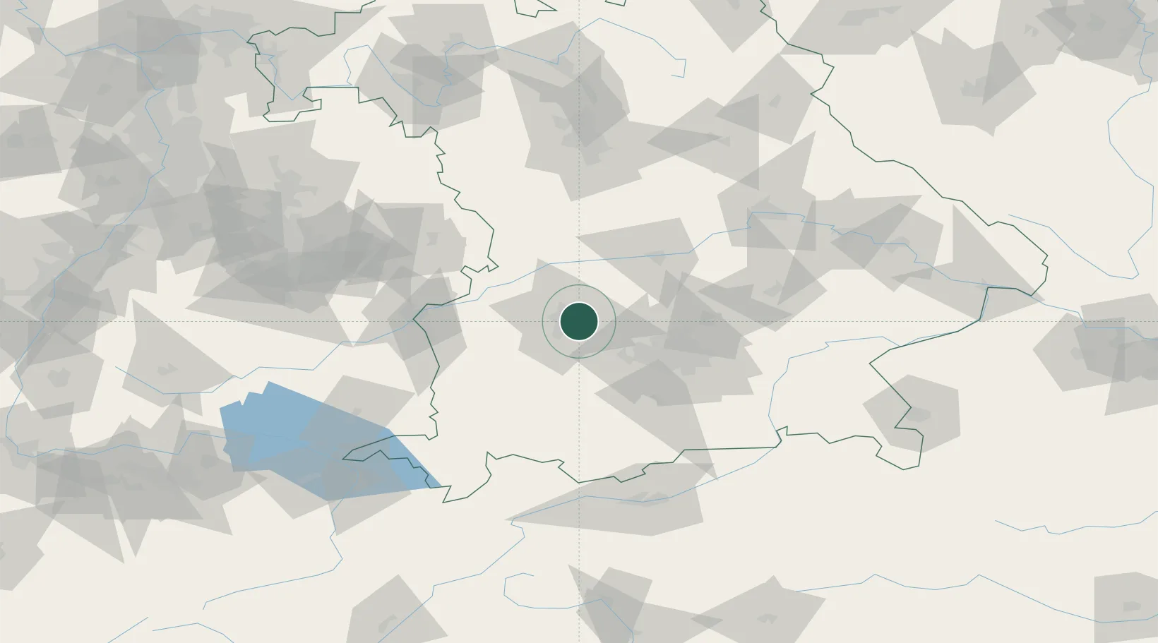
Hub Profile
Place type
Populated place
Region
Bavaria
Population
29,916
Time zone
Europe/Berlin
Elevation
514 m
Location
Nearby Logistics Neighbours
Cities
- 1Augsburg9 km
- 2Affing11 km
- 3Neusäss12 km
- 4Hollenbach14 km
- 5Algertshausen15 km
Ports
- 1Nogaro334 km
- 2Grado345 km
- 3Porto Di Lido-Venezia346 km
- 4Monfalcone347 km
- 5Porto Di Chioggia363 km
Airports
- 1Augsburg Airport8 km
- 2Lechfeld Air Base22 km
- 3Altstetten Ultralight Field23 km
- 4Oberpfaffenhofen Airport39 km
- 5Neuburg Air Base42 km
Trade Zones
- 1Freeport of Deggendorf151 km
- 2Livigno Free Trade Zone215 km
- 3ZFU Neuhof238 km
- 4ZFU Hautepierre244 km
- 5Podbořany Industrial Zone271 km
DatabookThe Record of Consolidated Knowledge
Germany beyond logistics?