Transport Functions
Rail
Road
Hub Profile
Place type
Populated place
Region
Bavaria
Population
7,275
Time zone
Europe/Berlin
Elevation
510 m
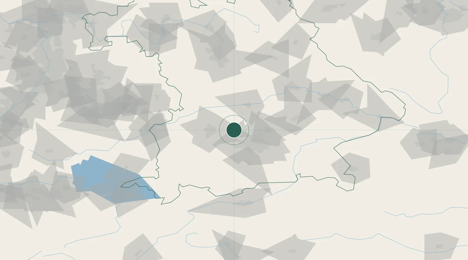
Location
Nearby Logistics Neighbours
Cities
- 1Odelzhausen8 km
- 2Hilgertshausen-Tandern9 km
- 3Wiedenzhausen11 km
- 4Algertshausen14 km
- 5Petershausen16 km
Ports
- 1Nogaro326 km
- 2Grado337 km
- 3Monfalcone338 km
- 4Porto Di Lido-Venezia342 km
- 5Trieste358 km
Airports
- 1Altstetten Ultralight Field9 km
- 2Augsburg Airport24 km
- 3Oberpfaffenhofen Airport34 km
- 4Lechfeld Air Base36 km
- 5Neuburg Air Base37 km
Trade Zones
- 1Freeport of Deggendorf132 km
- 2Livigno Free Trade Zone223 km
- 3ZFU Neuhof258 km
- 4Podbořany Industrial Zone258 km
- 5ZFU Hautepierre263 km
DatabookThe Record of Consolidated Knowledge
Germany beyond logistics?