UN/LOCODE hub · Germany
DEWZA

Wiedenzhausen

48.2833°, 11.2333°
2
Transport functions

Transport Functions

Road
Multimodal
UN/LOCODE

Hub Profile

Place type
Populated place
GeoNames
Region
Bavaria
GeoNames
Time zone
Europe/Berlin
GeoNames
Elevation
495 m
GeoNames

Location

Location of DEWZA
Natural Earth 10m (public domain) · Bavaria · DEWZA · 48.28, 11.23GoogleOSMYandex

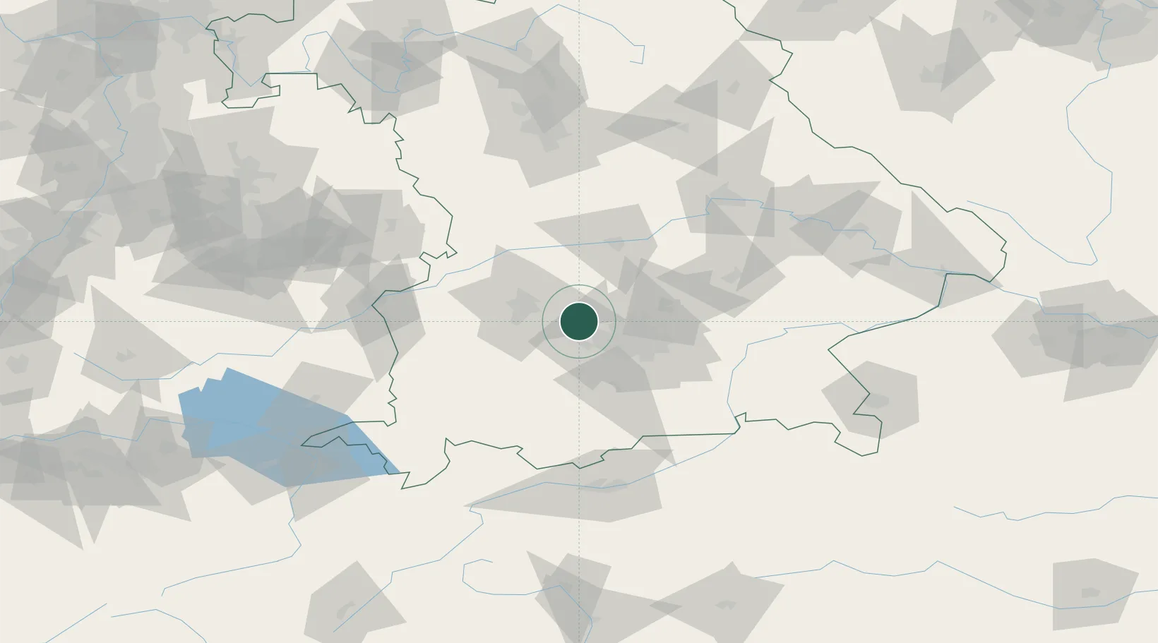
Nearby Logistics Neighbours

Cities
  1. 1Odelzhausen5 km
  2. 2Mammendorf11 km
  3. 3Altomünster11 km
  4. 4Althegnenberg14 km
  5. 5Gröbenzell14 km
Nearest neighbours — logibook spatial index (haversine) over the source coordinates
Ports
  1. 1Nogaro317 km
  2. 2Grado327 km
  3. 3Monfalcone329 km
  4. 4Porto Di Lido-Venezia332 km
  5. 5Porto Di Chioggia349 km
Nearest neighbours — logibook spatial index (haversine) over the source coordinates
Airports
  1. 1Altstetten Ultralight Field5 km
  2. 2Oberpfaffenhofen Airport23 km
  3. 3Augsburg Airport27 km
  4. 4Lechfeld Air Base30 km
  5. 5Munich Airport42 km
Nearest neighbours — logibook spatial index (haversine) over the source coordinates
Trade Zones
  1. 1Freeport of Deggendorf138 km
  2. 2Livigno Free Trade Zone213 km
  3. 3ZFU Neuhof258 km
  4. 4ZFU Hautepierre264 km
  5. 5Podbořany Industrial Zone268 km
Nearest neighbours — logibook spatial index (haversine) over the source coordinates
DatabookThe Record of Consolidated Knowledge
Germany beyond logistics?
Browse databook

All Sources

LocationsUN/LOCODE
UN/LOCODE — free
Portsthe NGA World Port Index
Public domain (US gov)
AirportsOurAirports
Public domain
Trade Zonesthe World Bank SEZ database
CC BY 4.0
Trade ZonesOpen Zone Map
CC BY
← Germany locations