Transport Functions
Rail
Road
Hub Profile
Place type
Local administrative seat
Region
Bavaria
Population
1,843
Time zone
Europe/Berlin
Elevation
535 m
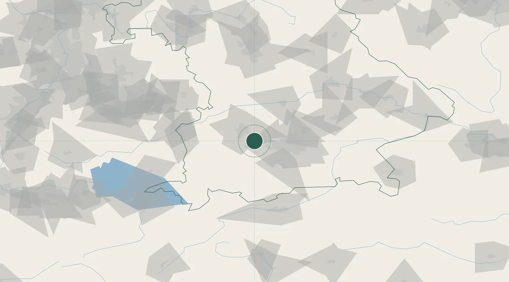
Location
Nearby Logistics Neighbours
Cities
- 1Mammendorf7 km
- 2Türkenfeld13 km
- 3Wiedenzhausen14 km
- 4Odelzhausen14 km
- 5Schöngeising15 km
Ports
- 1Nogaro318 km
- 2Grado329 km
- 3Porto Di Lido-Venezia330 km
- 4Monfalcone331 km
- 5Porto Di Chioggia347 km
Airports
- 1Lechfeld Air Base16 km
- 2Altstetten Ultralight Field18 km
- 3Oberpfaffenhofen Airport23 km
- 4Augsburg Airport24 km
- 5Neuburg Air Base54 km
Trade Zones
- 1Freeport of Deggendorf152 km
- 2Livigno Free Trade Zone203 km
- 3ZFU Neuhof246 km
- 4ZFU Hautepierre252 km
- 5Podbořany Industrial Zone279 km
DatabookThe Record of Consolidated Knowledge
Germany beyond logistics?