UN/LOCODE hub · Germany
DEMMF

Mammendorf

48.2000°, 11.1500°
4,540
Population
2
Transport functions

Transport Functions

Port
Multimodal
UN/LOCODE

Hub Profile

Place type
Local administrative seat
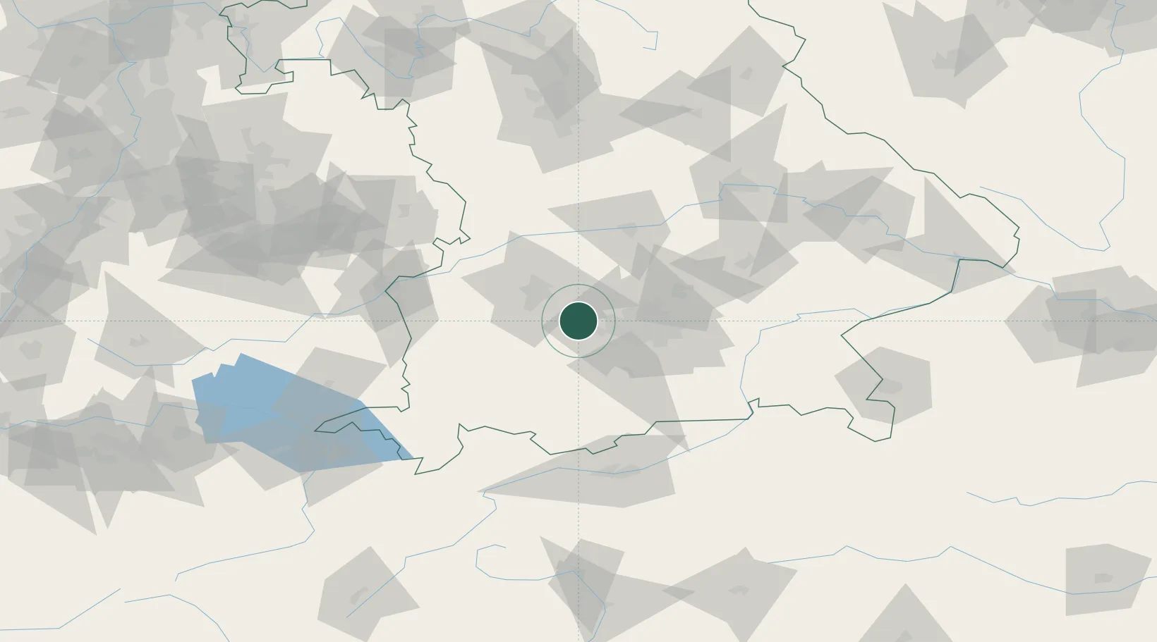
GeoNames
Region
Bavaria
GeoNames
Population
4,540
GeoNames
Time zone
Europe/Berlin
GeoNames
Elevation
536 m
GeoNames

Location

Location of DEMMF
Natural Earth 10m (public domain) · Bavaria · DEMMF · 48.20, 11.15GoogleOSMYandex

Nearby Logistics Neighbours

Cities
  1. 1Althegnenberg7 km
  2. 2Schöngeising8 km
  3. 3Grafrath9 km
  4. 4Türkenfeld11 km
  5. 5Wiedenzhausen11 km
Nearest neighbours — logibook spatial index (haversine) over the source coordinates
Ports
  1. 1Nogaro312 km
  2. 2Grado323 km
  3. 3Porto Di Lido-Venezia325 km
  4. 4Monfalcone325 km
  5. 5Porto Di Chioggia341 km
Nearest neighbours — logibook spatial index (haversine) over the source coordinates
Airports
  1. 1Altstetten Ultralight Field16 km
  2. 2Oberpfaffenhofen Airport17 km
  3. 3Lechfeld Air Base22 km
  4. 4Augsburg Airport30 km
  5. 5Munich Airport50 km
Nearest neighbours — logibook spatial index (haversine) over the source coordinates
Trade Zones
  1. 1Freeport of Deggendorf148 km
  2. 2Livigno Free Trade Zone202 km
  3. 3ZFU Neuhof253 km
  4. 4ZFU Hautepierre259 km
  5. 5Podbořany Industrial Zone279 km
Nearest neighbours — logibook spatial index (haversine) over the source coordinates
DatabookThe Record of Consolidated Knowledge
Germany beyond logistics?
Browse databook

All Sources

LocationsUN/LOCODE
UN/LOCODE — free
LocationsGeoNames
CC BY 4.0
Portsthe NGA World Port Index
Public domain (US gov)
AirportsOurAirports
Public domain
Trade Zonesthe World Bank SEZ database
CC BY 4.0
Trade ZonesOpen Zone Map
CC BY
← Germany locations