Transport Functions
Road
Multimodal
Hub Profile
Place type
Populated place
Region
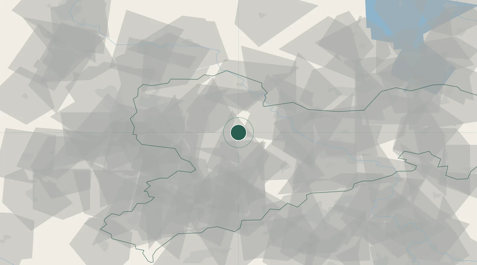
Saxony
Time zone
Europe/Berlin
Elevation
235 m
Location
Nearby Logistics Neighbours
Cities
- 1Leisnig5 km
- 2Dürrweitzschen (Muldentalkreis)8 km
- 3Gebersbach13 km
- 4Colditz14 km
- 5Meila16 km
Ports
- 1Szczecin270 km
- 2Police286 km
- 3Swinoujscie316 km
- 4Wismar319 km
- 5Wolgast323 km
Airports
- 1Leipzig–Altenburg Airport40 km
- 2Dresden Airport55 km
- 3Leipzig/Halle Airport59 km
- 4Holzdorf Air Base66 km
- 5Zerbst Airfield108 km
Trade Zones
DatabookThe Record of Consolidated Knowledge
Germany beyond logistics?