Transport Functions
Rail
Road
Hub Profile
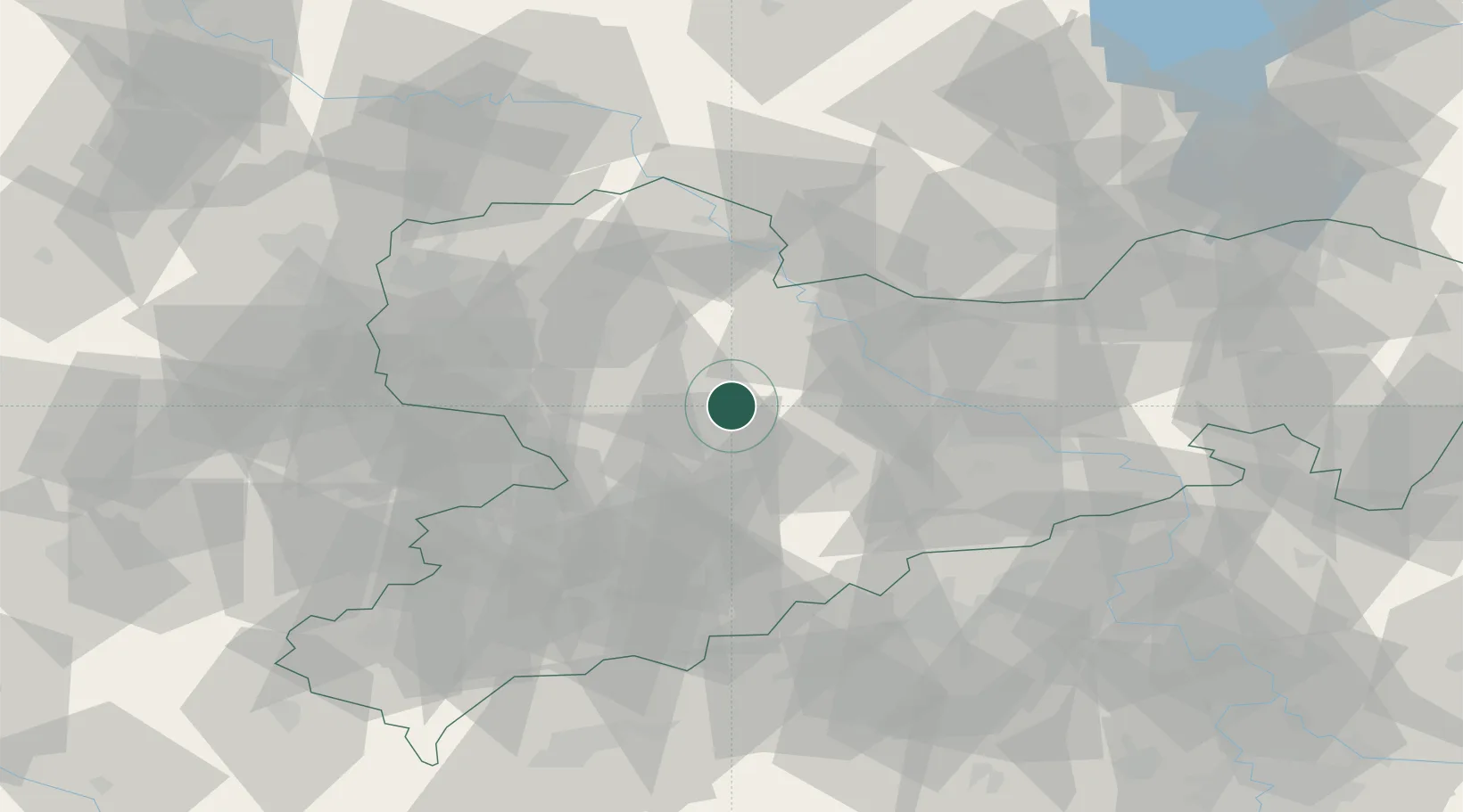
Place type
Populated place
Region
Saxony
Time zone
Europe/Berlin
Elevation
234 m
Location
Nearby Logistics Neighbours
Cities
- 1Tiefenbach (Sachsen)8 km
- 2Choren11 km
- 3Drossdorf12 km
- 4Erlau12 km
- 5Naunhof13 km
Ports
- 1Szczecin278 km
- 2Police294 km
- 3Swinoujscie325 km
- 4Wismar331 km
- 5Wolgast333 km
Airports
- 1Leipzig–Altenburg Airport41 km
- 2Dresden Airport49 km
- 3Leipzig/Halle Airport69 km
- 4Holzdorf Air Base76 km
- 5Karlovy Vary Airport99 km
Trade Zones
DatabookThe Record of Consolidated Knowledge
Germany beyond logistics?