UN/LOCODE hub · Germany
DEDRR

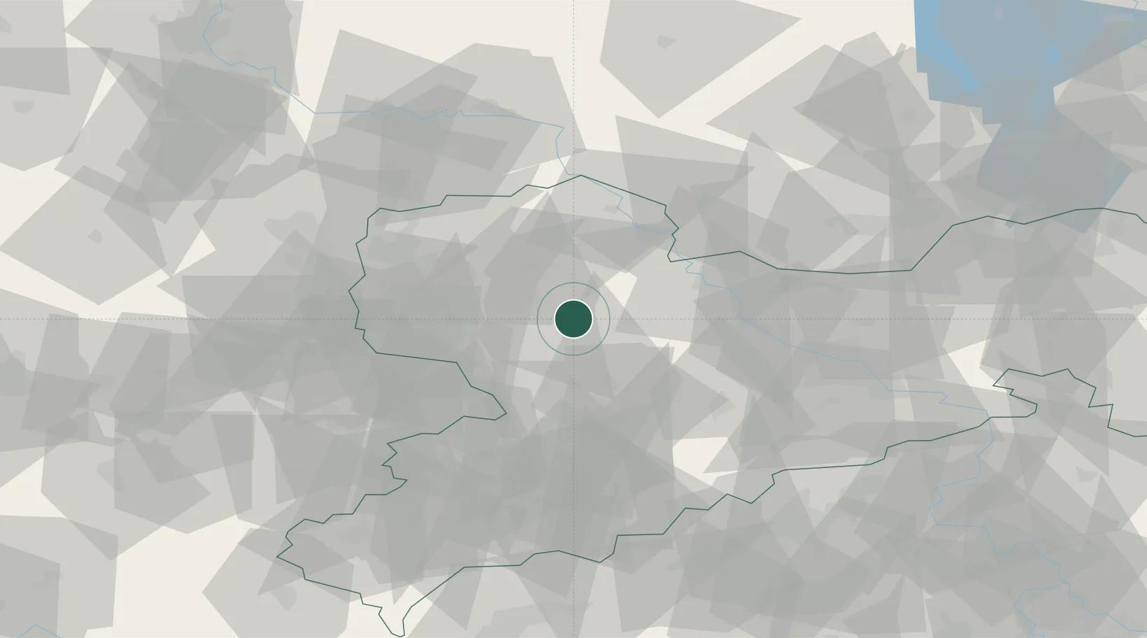
Dürrweitzschen (Muldentalkreis)

51.2000°, 12.8667°
2
Transport functions

Transport Functions

Road
Multimodal
UN/LOCODE

Hub Profile

Region
SN
GeoNames

Location

Location of DEDRR
Natural Earth 10m (public domain) · SN · DEDRR · 51.20, 12.87GoogleOSMYandex

Nearby Logistics Neighbours

Cities
  1. 1Leisnig5 km
  2. 2Naunhof8 km
  3. 3Nerchau9 km
  4. 4Boehlen10 km
  5. 5Colditz10 km
Nearest neighbours — logibook spatial index (haversine) over the source coordinates
Ports
  1. 1Szczecin272 km
  2. 2Police287 km
  3. 3Wismar315 km
  4. 4Swinoujscie317 km
  5. 5Wolgast323 km
Nearest neighbours — logibook spatial index (haversine) over the source coordinates
Airports
  1. 1Leipzig–Altenburg Airport35 km
  2. 2Leipzig/Halle Airport50 km
  3. 3Dresden Airport63 km
  4. 4Holzdorf Air Base67 km
  5. 5Zerbst Airfield102 km
Nearest neighbours — logibook spatial index (haversine) over the source coordinates
Trade Zones
  1. 1Most - Joseph Industrial Zone96 km
  2. 2Žatec - Triangle Strategic Industrial Zone101 km
  3. 3Podbořany Industrial Zone115 km
  4. 4Kostrzyń-Słubice SEZ197 km
  5. 5Kolín - Ovčáry Industrial Zone208 km
Nearest neighbours — logibook spatial index (haversine) over the source coordinates
DatabookThe Record of Consolidated Knowledge
Germany beyond logistics?
Browse databook

All Sources

LocationsUN/LOCODE
UN/LOCODE — free
Portsthe NGA World Port Index
Public domain (US gov)
AirportsOurAirports
Public domain
Trade Zonesthe World Bank SEZ database
CC BY 4.0
Trade ZonesOpen Zone Map
CC BY
← Germany locations