Transport Functions
Rail
Road
Hub Profile
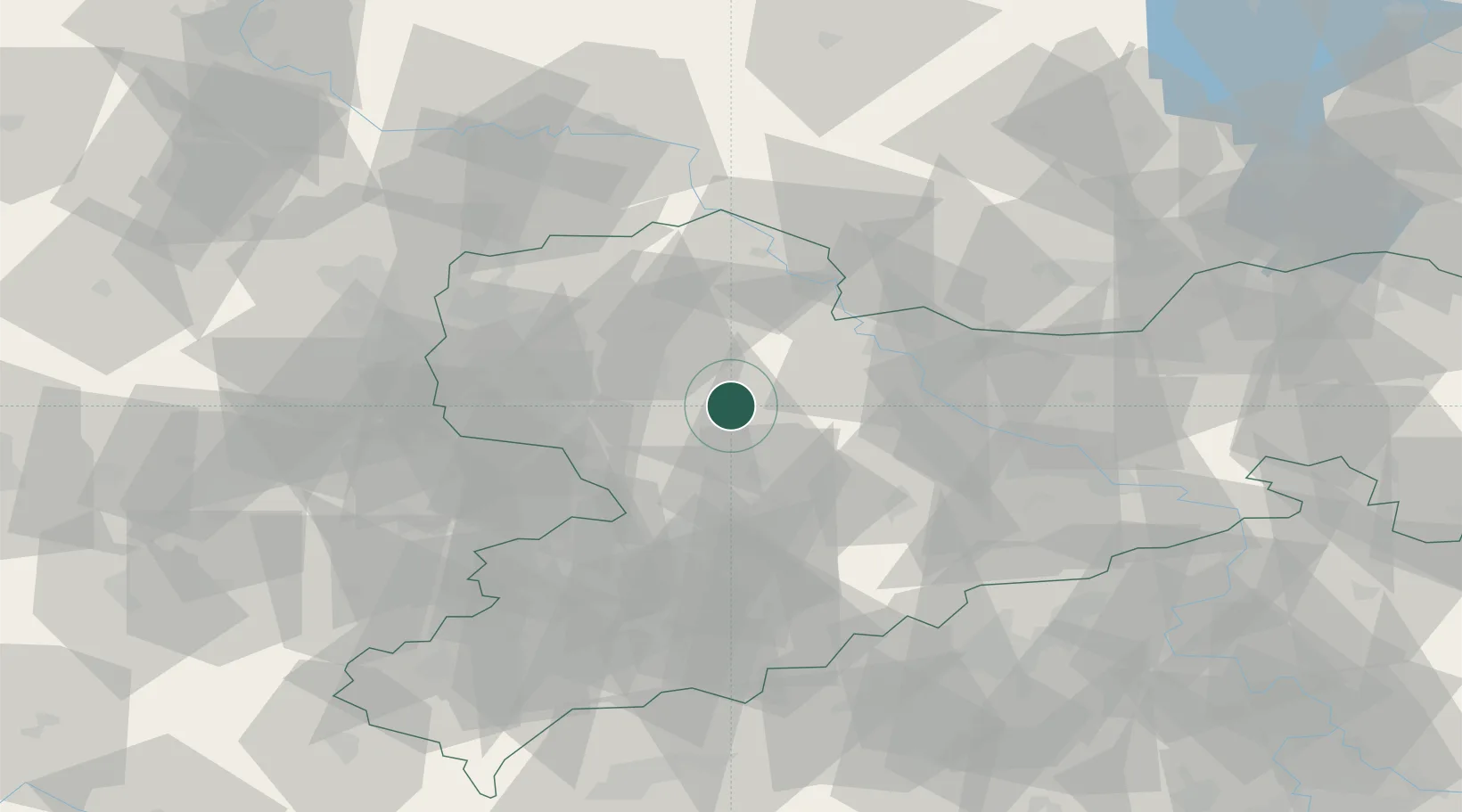
Place type
Populated place
Region
Saxony
Population
6,968
Time zone
Europe/Berlin
Elevation
221 m
Location
Nearby Logistics Neighbours
Cities
- 1Naunhof5 km
- 2Dürrweitzschen (Muldentalkreis)5 km
- 3Colditz9 km
- 4Gebersbach14 km
- 5Nerchau15 km
Ports
- 1Szczecin274 km
- 2Police289 km
- 3Swinoujscie319 km
- 4Wismar319 km
- 5Wolgast326 km
Airports
- 1Leipzig–Altenburg Airport35 km
- 2Leipzig/Halle Airport55 km
- 3Dresden Airport60 km
- 4Holzdorf Air Base69 km
- 5Zerbst Airfield107 km
Trade Zones
DatabookThe Record of Consolidated Knowledge
Germany beyond logistics?