Transport Functions
Rail
Road
Hub Profile
Region
TH
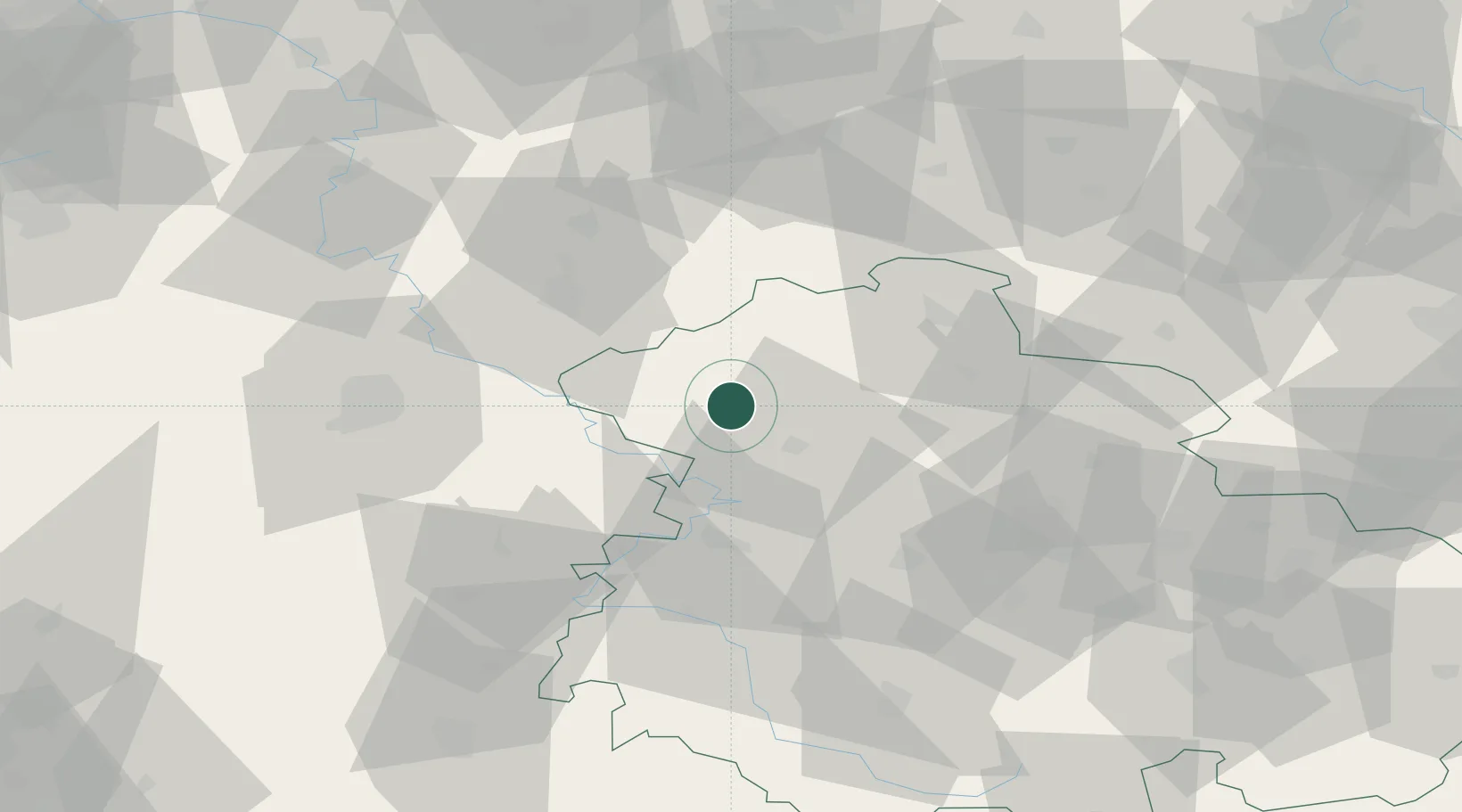
Location
Nearby Logistics Neighbours
Cities
- 1Rodeberg9 km
- 2Effelder9 km
- 3Niederorschel11 km
- 4Deuna12 km
- 5Geismar13 km
Airports
- 1Eisenach-Kindel Airport36 km
- 2Erfurt-Weimar Airport57 km
- 3Kassel Airport66 km
- 4Fritzlar Army Airfield75 km
- 5Braunschweig-Wolfsburg Airport115 km
Trade Zones
DatabookThe Record of Consolidated Knowledge
Germany beyond logistics?