Transport Functions
Road
Multimodal
Hub Profile
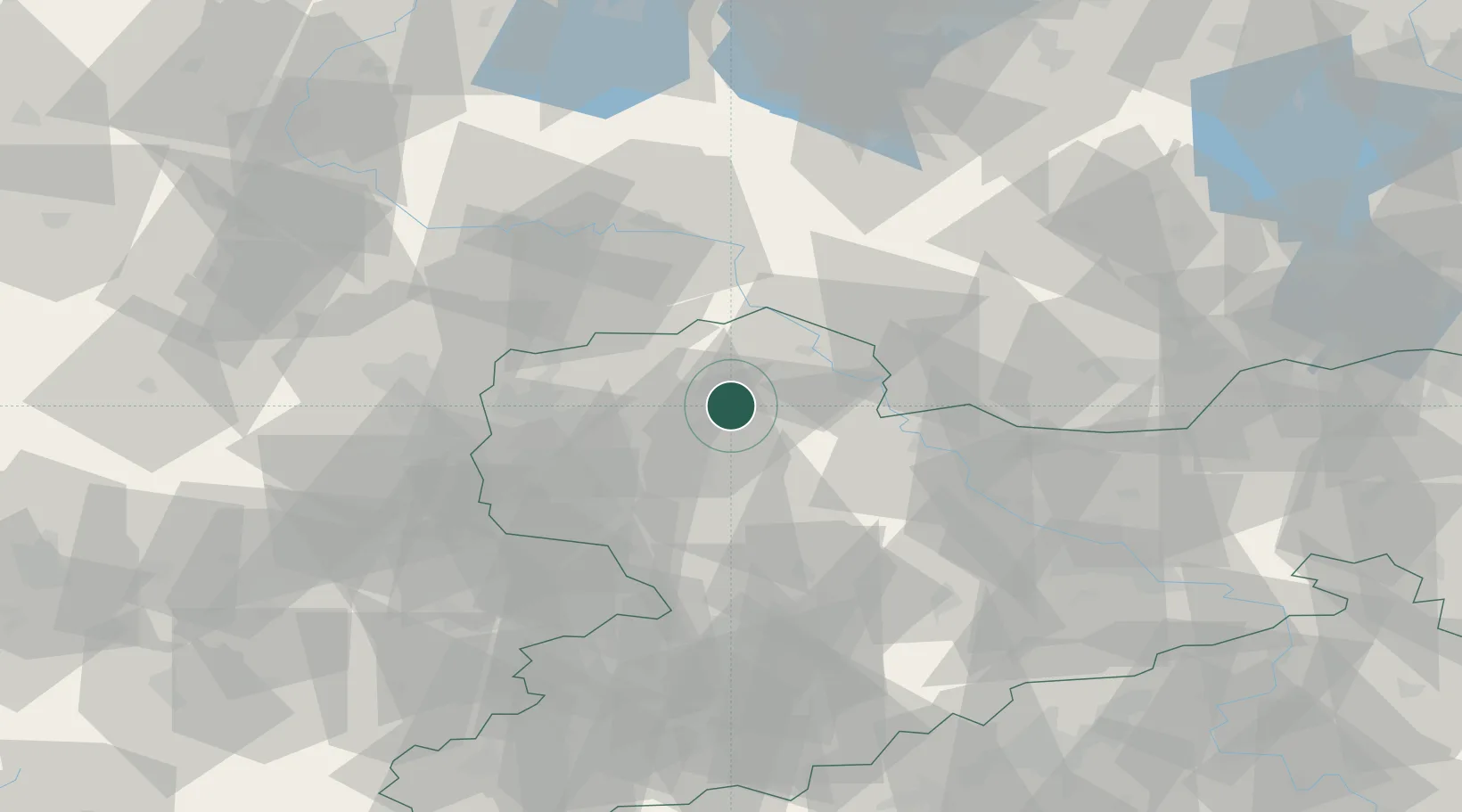
Place type
Populated place
Region
Saxony
Population
3,061
Time zone
Europe/Berlin
Elevation
127 m
Location
Nearby Logistics Neighbours
Cities
- 1Falkenhain6 km
- 2Bennewitz8 km
- 3Wurzen8 km
- 4Mockrehna9 km
- 5Thallwitz9 km
Ports
- 1Szczecin252 km
- 2Police267 km
- 3Wismar290 km
- 4Swinoujscie295 km
- 5Wolgast300 km
Airports
- 1Leipzig/Halle Airport39 km
- 2Holzdorf Air Base47 km
- 3Leipzig–Altenburg Airport53 km
- 4Dresden Airport74 km
- 5Zerbst Airfield79 km
Trade Zones
DatabookThe Record of Consolidated Knowledge
Germany beyond logistics?