Transport Functions
Multimodal
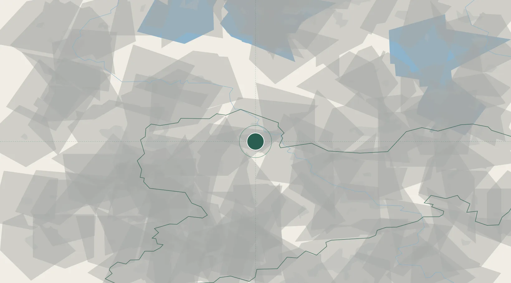
Hub Profile
Region
ST
Location
Nearby Logistics Neighbours
Cities
- 1Dahlen7 km
- 2Falkenhain8 km
- 3Belgern10 km
- 4Martinskirchen13 km
- 5Hohburg14 km
Ports
- 1Szczecin244 km
- 2Police260 km
- 3Swinoujscie289 km
- 4Wismar293 km
- 5Wolgast296 km
Airports
- 1Holzdorf Air Base39 km
- 2Leipzig/Halle Airport53 km
- 3Leipzig–Altenburg Airport61 km
- 4Dresden Airport63 km
- 5Zerbst Airfield86 km
Trade Zones
DatabookThe Record of Consolidated Knowledge
Germany beyond logistics?