Transport Functions
Multimodal
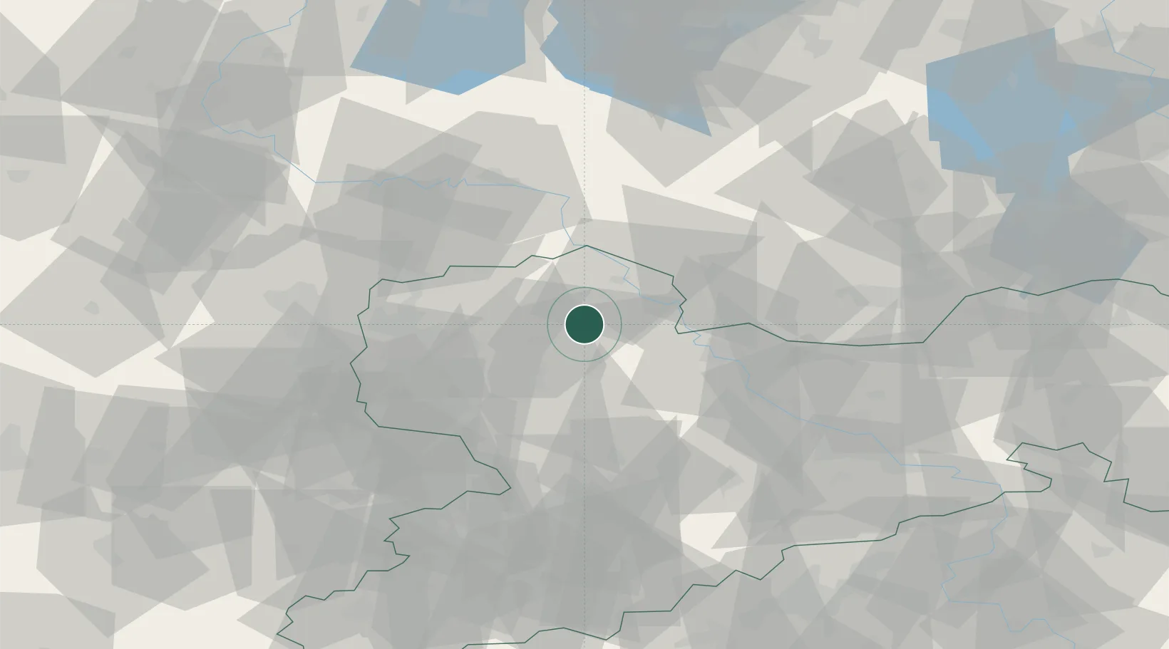
Hub Profile
Place type
Populated place
Region
Saxony
Population
3,987
Time zone
Europe/Berlin
Elevation
135 m
Location
Nearby Logistics Neighbours
Cities
- 1Hohburg6 km
- 2Kabelsketal8 km
- 3Dahlen10 km
- 4Mockrehna11 km
- 5Kühren Burkartshain13 km
Ports
- 1Szczecin249 km
- 2Police265 km
- 3Wismar292 km
- 4Swinoujscie293 km
- 5Wolgast299 km
Airports
- 1Holzdorf Air Base44 km
- 2Leipzig/Halle Airport45 km
- 3Leipzig–Altenburg Airport55 km
- 4Dresden Airport69 km
- 5Zerbst Airfield82 km
Trade Zones
DatabookThe Record of Consolidated Knowledge
Germany beyond logistics?