Transport Functions
Rail
Road
Hub Profile
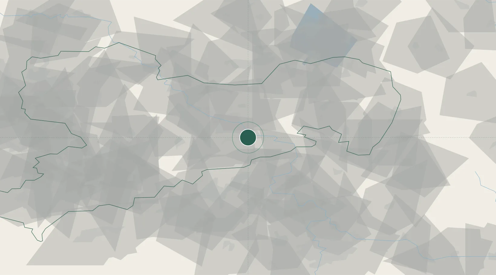
Place type
Populated place
Region
Saxony
Population
6,140
Time zone
Europe/Berlin
Elevation
164 m
Location
Nearby Logistics Neighbours
Cities
- 1Müglitztal3 km
- 2Heidenau4 km
- 3Copitz5 km
- 4Bahretal8 km
- 5Laubegast10 km
Ports
- 1Szczecin278 km
- 2Police295 km
- 3Swinoujscie331 km
- 4Wolgast345 km
- 5Wismar366 km
Airports
- 1Dresden Airport22 km
- 2Rothenburg/Görlitz Airfield88 km
- 3Vodochody Airport90 km
- 4Leipzig–Altenburg Airport95 km
- 5Václav Havel Airport Prague98 km
Trade Zones
DatabookThe Record of Consolidated Knowledge
Germany beyond logistics?