Transport Functions
Port
Road
Hub Profile
Region
SN
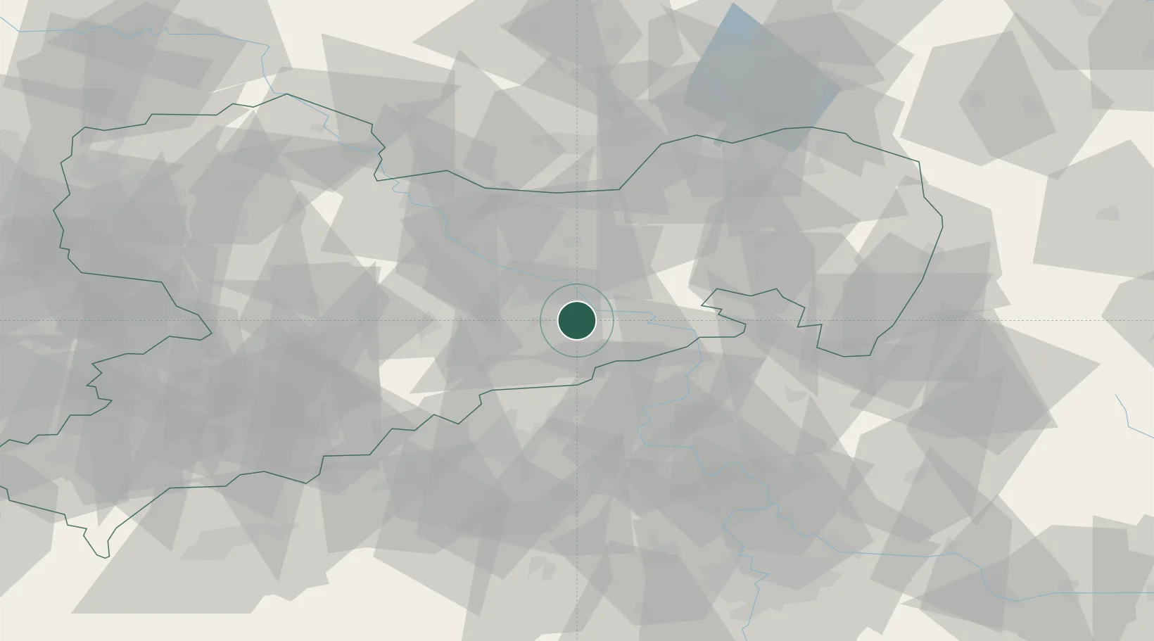
Location
Nearby Logistics Neighbours
Cities
- 1Dohna3 km
- 2Heidenau6 km
- 3Bahretal7 km
- 4Copitz8 km
- 5Berggiesshübel10 km
Ports
- 1Szczecin280 km
- 2Police297 km
- 3Swinoujscie333 km
- 4Wolgast347 km
- 5Wismar367 km
Airports
- 1Dresden Airport23 km
- 2Vodochody Airport89 km
- 3Rothenburg/Görlitz Airfield91 km
- 4Leipzig–Altenburg Airport93 km
- 5Václav Havel Airport Prague97 km
Trade Zones
DatabookThe Record of Consolidated Knowledge
Germany beyond logistics?