Transport Functions
Multimodal
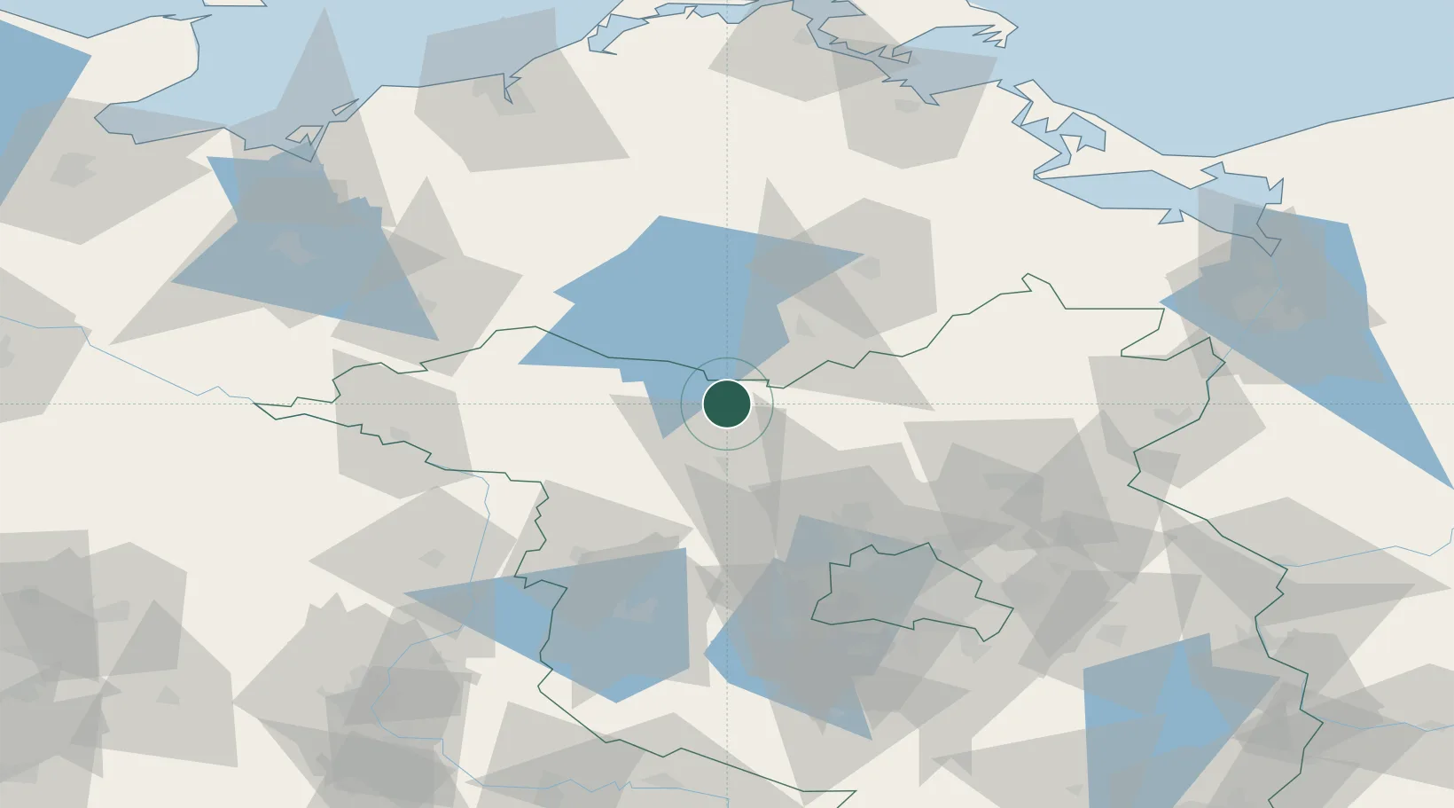
Hub Profile
Place type
Populated place
Region
Thuringia
Population
450
Time zone
Europe/Berlin
Elevation
189 m
Location
Nearby Logistics Neighbours
Cities
- 1Rheinsberg5 km
- 2Zechlinerhütte6 km
- 3Grosszerlang12 km
- 4Wittstock an der Dosse21 km
- 5Märkisch Linden24 km
Airports
- 1Neubrandenburg Trollenhagen Airport63 km
- 2Berlin Brandenburg Airport96 km
- 3Rostock-Laage Airport96 km
- 4Heringsdorf Airport122 km
- 5Zerbst Airfield132 km
Trade Zones
- 1Szczecin Duty Free Zone122 km
- 2Swinoujscie Duty Free Zone130 km
- 3Kostrzyń-Słubice SEZ135 km
- 4Freeport of Kiel220 km
- 5Freeport of Bremerhaven (Freihafen Bremerhaven)270 km
DatabookThe Record of Consolidated Knowledge
Germany beyond logistics?