UN/LOCODE hub · Germany
DEGZG

Grosszerlang

53.1833°, 12.9500°
2
Transport functions

Transport Functions

Port
Road
UN/LOCODE

Hub Profile

Place type
Populated place
GeoNames
Region
Brandenburg
GeoNames
Time zone
Europe/Berlin
GeoNames
Elevation
61 m
GeoNames

Location

Location of DEGZG
Natural Earth 10m (public domain) · Brandenburg · DEGZG · 53.18, 12.95GoogleOSMYandex

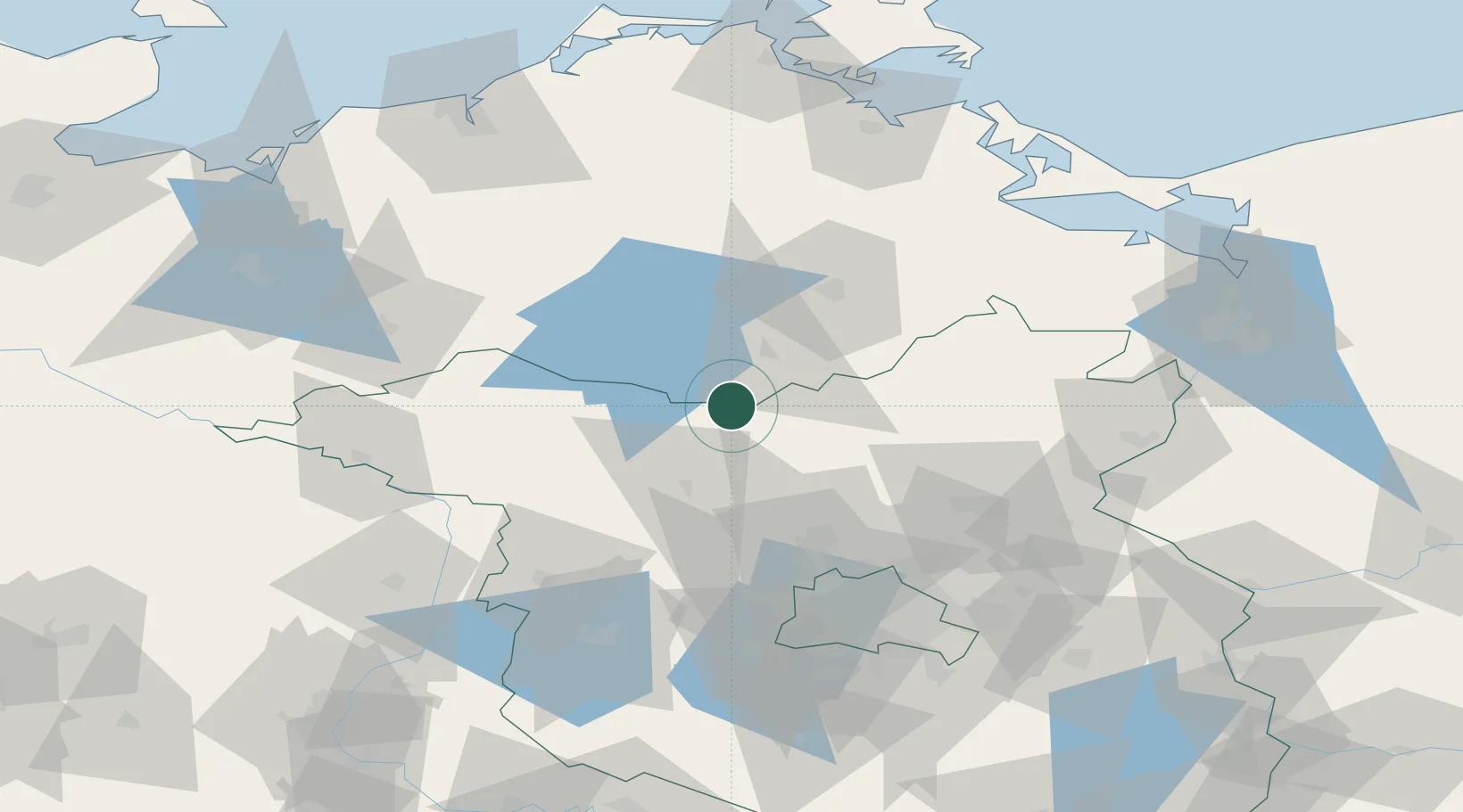
Nearby Logistics Neighbours

Cities
  1. 1Zechlinerhütte6 km
  2. 2Rheinsberg10 km
  3. 3Möckern12 km
  4. 4Dannenwalde19 km
  5. 5Rechlin23 km
Nearest neighbours — logibook spatial index (haversine) over the source coordinates
Ports
  1. 1Szczecin109 km
  2. 2Wolgast111 km
  3. 3Rostock115 km
  4. 4Police115 km
  5. 5Swinoujscie119 km
Nearest neighbours — logibook spatial index (haversine) over the source coordinates
Airports
  1. 1Neubrandenburg Trollenhagen Airport52 km
  2. 2Rostock-Laage Airport93 km
  3. 3Berlin Brandenburg Airport99 km
  4. 4Heringsdorf Airport111 km
  5. 5Solidarity Szczecin–Goleniów Airport137 km
Nearest neighbours — logibook spatial index (haversine) over the source coordinates
Trade Zones
  1. 1Szczecin Duty Free Zone111 km
  2. 2Swinoujscie Duty Free Zone118 km
  3. 3Kostrzyń-Słubice SEZ131 km
  4. 4Freeport of Kiel223 km
  5. 5MTS Malmö Transport and Spedition270 km
Nearest neighbours — logibook spatial index (haversine) over the source coordinates
DatabookThe Record of Consolidated Knowledge
Germany beyond logistics?
Browse databook

All Sources

LocationsUN/LOCODE
UN/LOCODE — free
Portsthe NGA World Port Index
Public domain (US gov)
AirportsOurAirports
Public domain
Trade Zonesthe World Bank SEZ database
CC BY 4.0
Trade ZonesOpen Zone Map
CC BY
← Germany locations