Transport Functions
Multimodal
Hub Profile
Region
BB
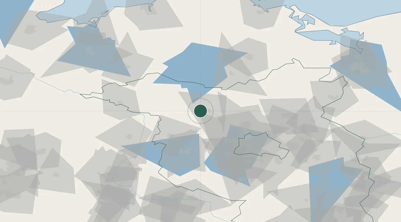
Location
Nearby Logistics Neighbours
Cities
- 1Werder Bei Neuruppin0 km
- 2Fehrbellin14 km
- 3Wusterhausen16 km
- 4Neustadt19 km
- 5Vielitz20 km
Airports
- 1Berlin Brandenburg Airport82 km
- 2Neubrandenburg Trollenhagen Airport86 km
- 3Zerbst Airfield109 km
- 4Rostock-Laage Airport115 km
- 5Holzdorf Air Base132 km
Trade Zones
- 1Kostrzyń-Słubice SEZ135 km
- 2Szczecin Duty Free Zone137 km
- 3Swinoujscie Duty Free Zone151 km
- 4Freeport of Kiel229 km
- 5Freeport of Bremerhaven (Freihafen Bremerhaven)263 km
DatabookThe Record of Consolidated Knowledge
Germany beyond logistics?