Medium airport · Germany
Heringsdorf AirportEDAH
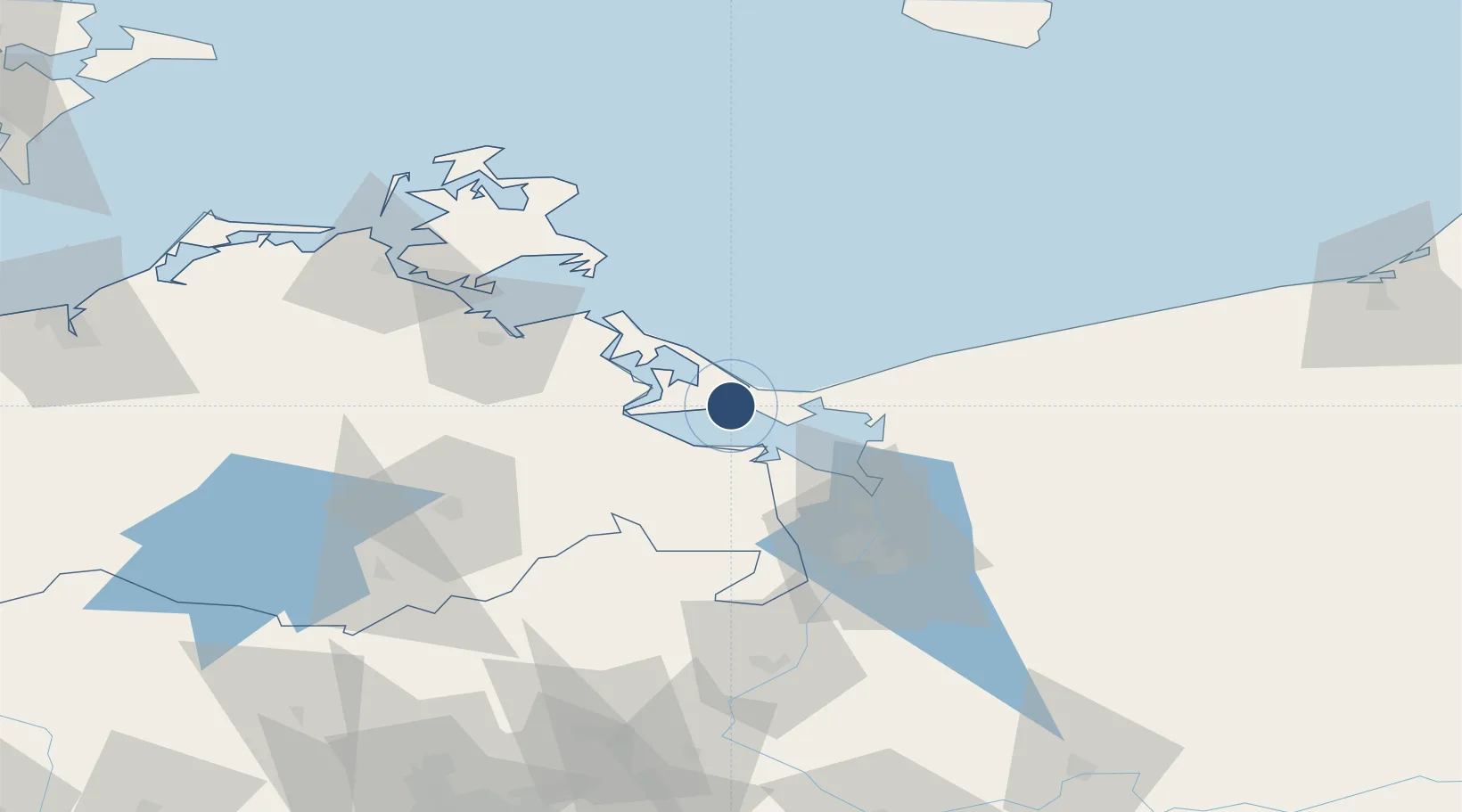
53.8787°, 14.1523°
7,562 ft
Longest runway
3
Runways
94 ft
Elevation
Runway & Layout

Radio Frequencies
TWR
132.83 MHz
Heringsdorf Tower / Turm
AFIS
132.65 MHz
Langen Information
INFO
132.83 MHz
Heringsdorf Radio
Navaids
HC NDB Heringsdorf 330 kHz
Runways · 3
| Runway | Dimensions | Surface | True heading | Lit |
|---|---|---|---|---|
| 10/28 | 7,562 × 115ft | Asphalt | 100° | ✓ |
| 10L/28R | 4,347 × 131ft | Grass | 100° | — |
| 10R/28L | 1,969 × 98ft | Grass | 100° | — |
Airport Specifications
IATA code
HDF
ICAO code
EDAH
Airport class
Medium airport
Scheduled service
Yes
Runway surface
Asphalt
Served city
Zirchow
Location
Nearby Logistics Neighbours
Airports
Cities
- 1Swinoujscie7 km
- 2Karsibór10 km
- 3Grambin15 km
- 4Usedom16 km
- 5Ueckermünde18 km
Ports
- 1Swinoujscie9 km
- 2Wolgast31 km
- 3Police44 km
- 4Szczecin58 km
- 5Sassnitz78 km
Trade Zones
- 1Swinoujscie Duty Free Zone8 km
- 2Szczecin Duty Free Zone58 km
- 3Kostrzyń-Słubice SEZ146 km
- 4Słupsk SEZ (Słupska SSE)198 km
- 5MTS Malmö Transport and Spedition204 km
DatabookThe Record of Consolidated Knowledge
Germany beyond logistics?