Transport Functions
Port
Road
Hub Profile
Place type
Populated place
Region
Brandenburg
Population
9,113
Time zone
Europe/Berlin
Elevation
61 m
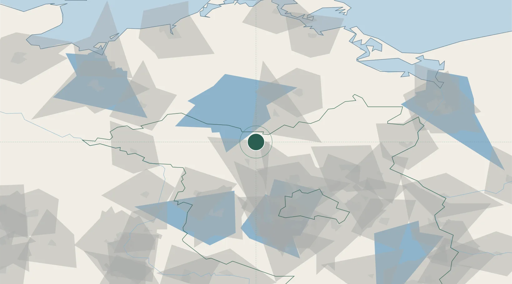
Location
Nearby Logistics Neighbours
Cities
- 1Möckern5 km
- 2Zechlinerhütte6 km
- 3Grosszerlang10 km
- 4Vielitz20 km
- 5Dannenwalde20 km
Ports
- 1Szczecin116 km
- 2Wolgast121 km
- 3Rostock122 km
- 4Police123 km
- 5Swinoujscie129 km
Airports
- 1Neubrandenburg Trollenhagen Airport63 km
- 2Berlin Brandenburg Airport92 km
- 3Rostock-Laage Airport99 km
- 4Heringsdorf Airport121 km
- 5Zerbst Airfield132 km
Trade Zones
- 1Szczecin Duty Free Zone118 km
- 2Swinoujscie Duty Free Zone128 km
- 3Kostrzyń-Słubice SEZ131 km
- 4Freeport of Kiel225 km
- 5Freeport of Bremerhaven (Freihafen Bremerhaven)274 km
DatabookThe Record of Consolidated Knowledge
Germany beyond logistics?