Transport Functions
Port
Road
Hub Profile
Region
BB
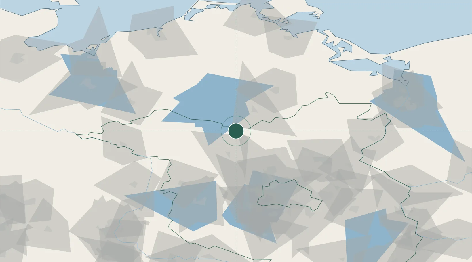
Location
Nearby Logistics Neighbours
Cities
- 1Rheinsberg6 km
- 2Grosszerlang6 km
- 3Möckern6 km
- 4Dannenwalde21 km
- 5Rechlin23 km
Ports
- 1Szczecin115 km
- 2Wolgast116 km
- 3Rostock117 km
- 4Police121 km
- 5Swinoujscie125 km
Airports
- 1Neubrandenburg Trollenhagen Airport58 km
- 2Rostock-Laage Airport94 km
- 3Berlin Brandenburg Airport97 km
- 4Heringsdorf Airport117 km
- 5Zerbst Airfield137 km
Trade Zones
- 1Szczecin Duty Free Zone116 km
- 2Swinoujscie Duty Free Zone124 km
- 3Kostrzyń-Słubice SEZ133 km
- 4Freeport of Kiel222 km
- 5MTS Malmö Transport and Spedition273 km
DatabookThe Record of Consolidated Knowledge
Germany beyond logistics?