Transport Functions
Multimodal
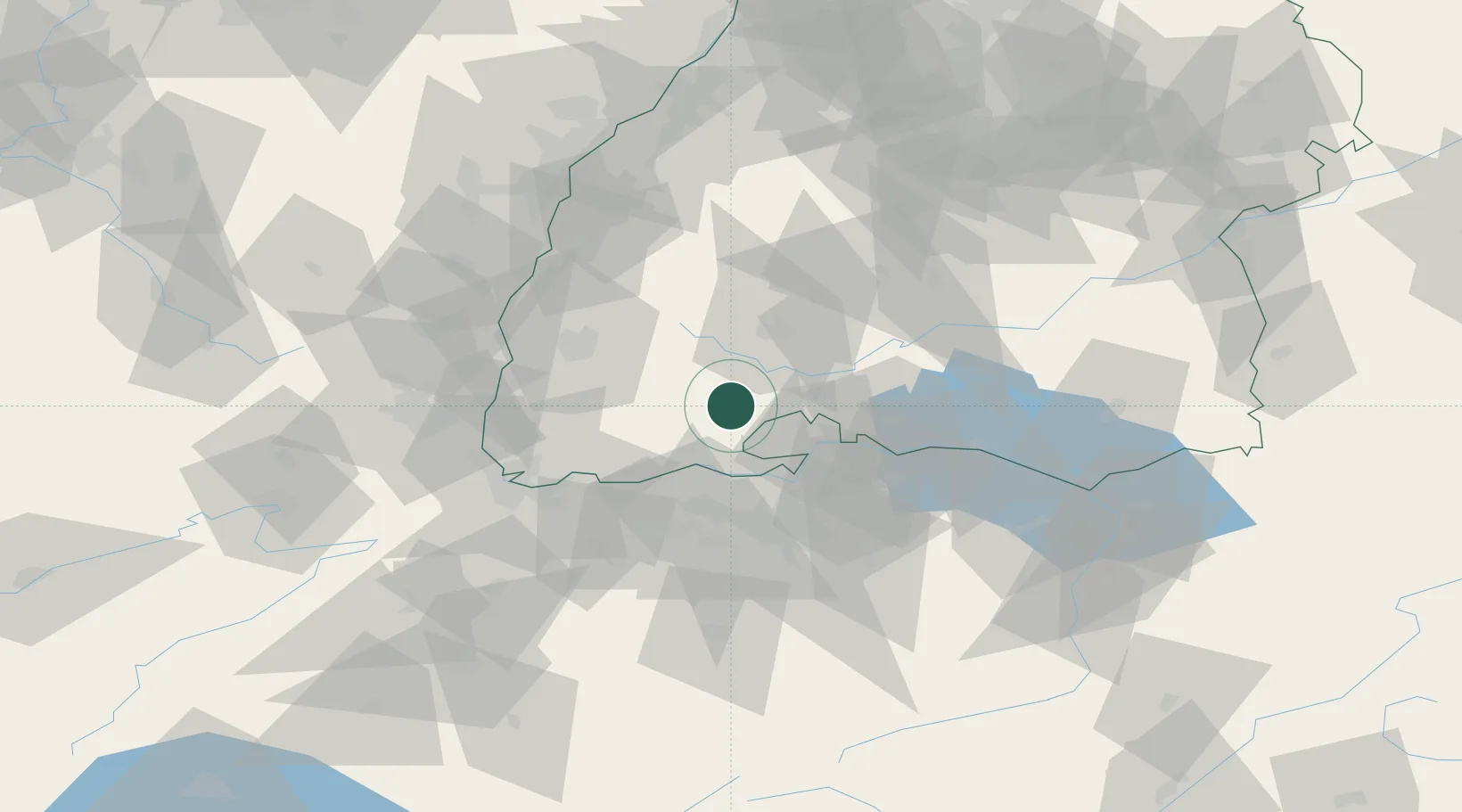
Hub Profile
Region
BW
Location
Nearby Logistics Neighbours
Cities
- 1Schluchsee12 km
- 2Bräunlingen14 km
- 3Haeusern16 km
- 4Hüfingen16 km
- 5Wutoeschingen17 km
Ports
- 1Genova383 km
- 2Savona389 km
- 3Rada Di Vado395 km
- 4Chiavari - Lavagna398 km
- 5Porto Di Lido-Venezia410 km
Airports
- 1Donaueschingen-Villingen Airfield22 km
- 2Zürich Airport43 km
- 3Dübendorf Air Base52 km
- 4EuroAirport Basel–Mulhouse–Freiburg67 km
- 5Lahr Airport73 km
Trade Zones
- 1ZFU Mulhouse76 km
- 2ZFU Neuhof92 km
- 3ZFU Hautepierre99 km
- 4ZFU Belfort117 km
- 5ZFU Montbéliard122 km
DatabookThe Record of Consolidated Knowledge
Germany beyond logistics?