Transport Functions
Rail
Road
Hub Profile
Place type
Local administrative seat
Region
Baden-Wurttemberg
Population
2,586
Time zone
Europe/Berlin
Elevation
943 m
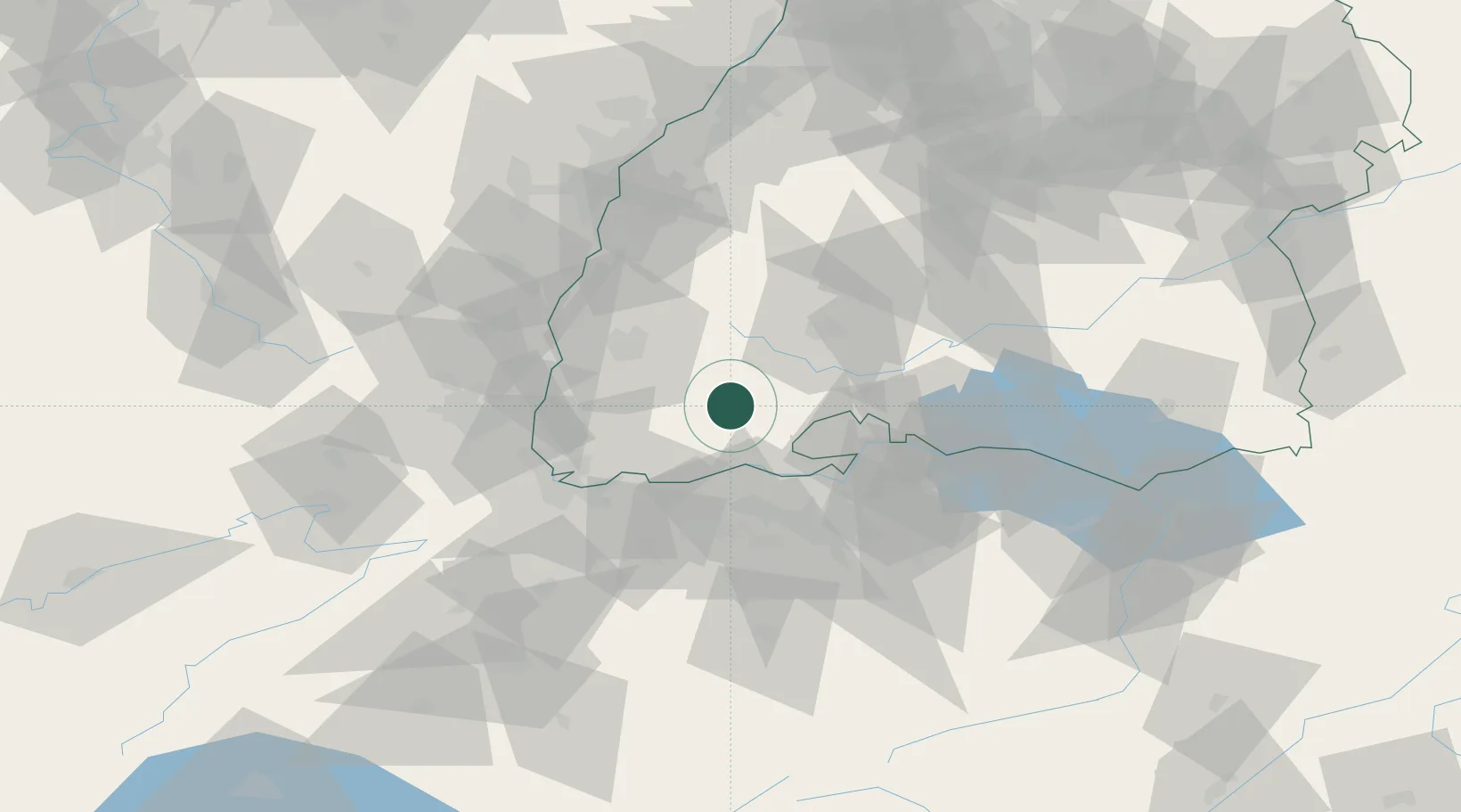
Location
Nearby Logistics Neighbours
Cities
- 1Haeusern8 km
- 2Bonndorf im Schwarzwald12 km
- 3Buchenbach21 km
- 4Utzenfeld21 km
- 5Schönau im Schwarzwald22 km
Ports
- 1Genova384 km
- 2Savona390 km
- 3Rada Di Vado396 km
- 4Chiavari - Lavagna400 km
- 5Porto Di Lido-Venezia420 km
Airports
- 1Donaueschingen-Villingen Airfield31 km
- 2Zürich Airport48 km
- 3EuroAirport Basel–Mulhouse–Freiburg55 km
- 4Dübendorf Air Base58 km
- 5Lahr Airport67 km
Trade Zones
- 1ZFU Mulhouse64 km
- 2ZFU Neuhof86 km
- 3ZFU Hautepierre94 km
- 4ZFU Belfort105 km
- 5ZFU Montbéliard110 km
DatabookThe Record of Consolidated Knowledge
Germany beyond logistics?