Transport Functions
Rail
Road
Hub Profile
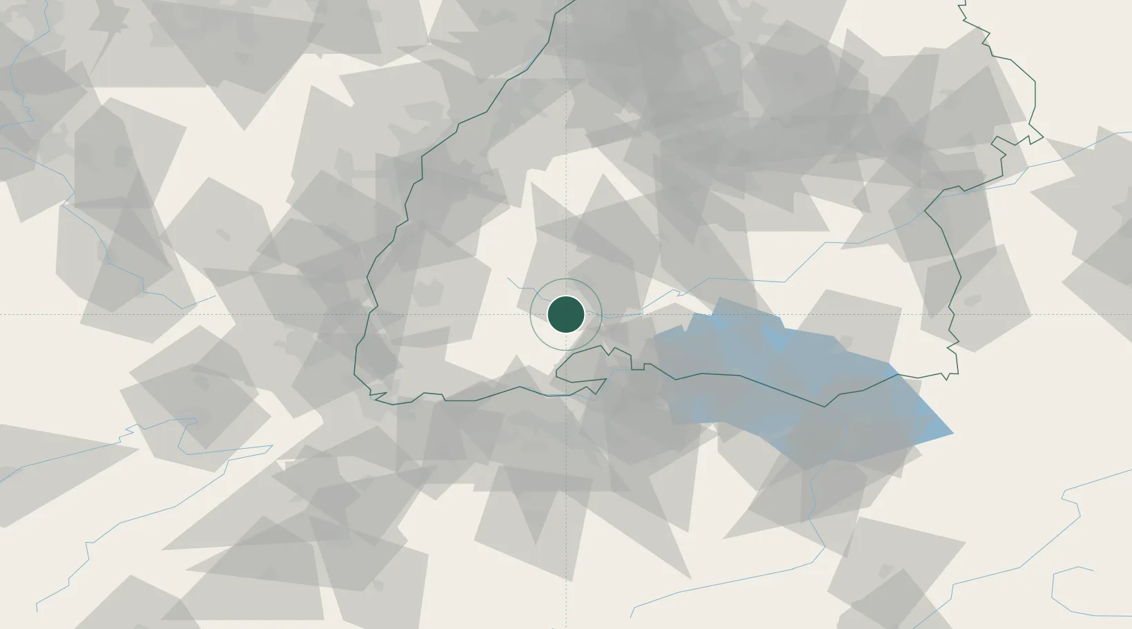
Place type
Populated place
Region
Baden-Wurttemberg
Population
6,141
Time zone
Europe/Berlin
Elevation
694 m
Location
Nearby Logistics Neighbours
Cities
- 1Wolterdingen4 km
- 2Donaueschingen5 km
- 3Hüfingen5 km
- 4Bad Dürrheim12 km
- 5Bonndorf im Schwarzwald14 km
Ports
- 1Genova395 km
- 2Savona402 km
- 3Rada Di Vado408 km
- 4Chiavari - Lavagna409 km
- 5Porto Di Lido-Venezia414 km
Airports
- 1Donaueschingen-Villingen Airfield8 km
- 2Zürich Airport54 km
- 3Dübendorf Air Base62 km
- 4Lahr Airport66 km
- 5Mengen-Hohentengen Airfield71 km
Trade Zones
- 1ZFU Neuhof84 km
- 2ZFU Mulhouse84 km
- 3ZFU Hautepierre92 km
- 4ZFU Belfort126 km
- 5ZFU Montbéliard132 km
DatabookThe Record of Consolidated Knowledge
Germany beyond logistics?