Transport Functions
Multimodal
Hub Profile
Place type
Populated place
Region
Bavaria
Time zone
Europe/Berlin
Elevation
700 m
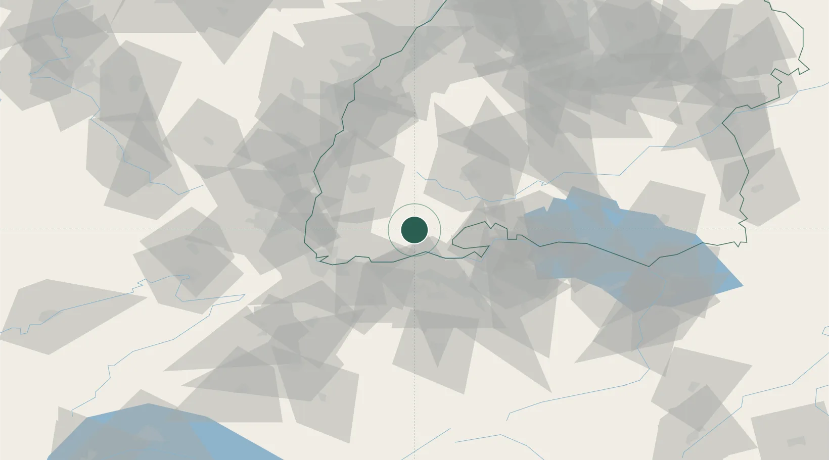
Location
Nearby Logistics Neighbours
Cities
- 1Schluchsee8 km
- 2Bonndorf im Schwarzwald16 km
- 3Wutoeschingen18 km
- 4Hauenstein19 km
- 5Klingnau20 km
Ports
- 1Genova377 km
- 2Savona383 km
- 3Rada Di Vado388 km
- 4Chiavari - Lavagna393 km
- 5Porto Di Lido-Venezia417 km
Airports
Trade Zones
- 1ZFU Mulhouse62 km
- 2ZFU Neuhof93 km
- 3ZFU Hautepierre100 km
- 4ZFU Belfort103 km
- 5ZFU Montbéliard107 km
DatabookThe Record of Consolidated Knowledge
Germany beyond logistics?