Transport Functions
Port
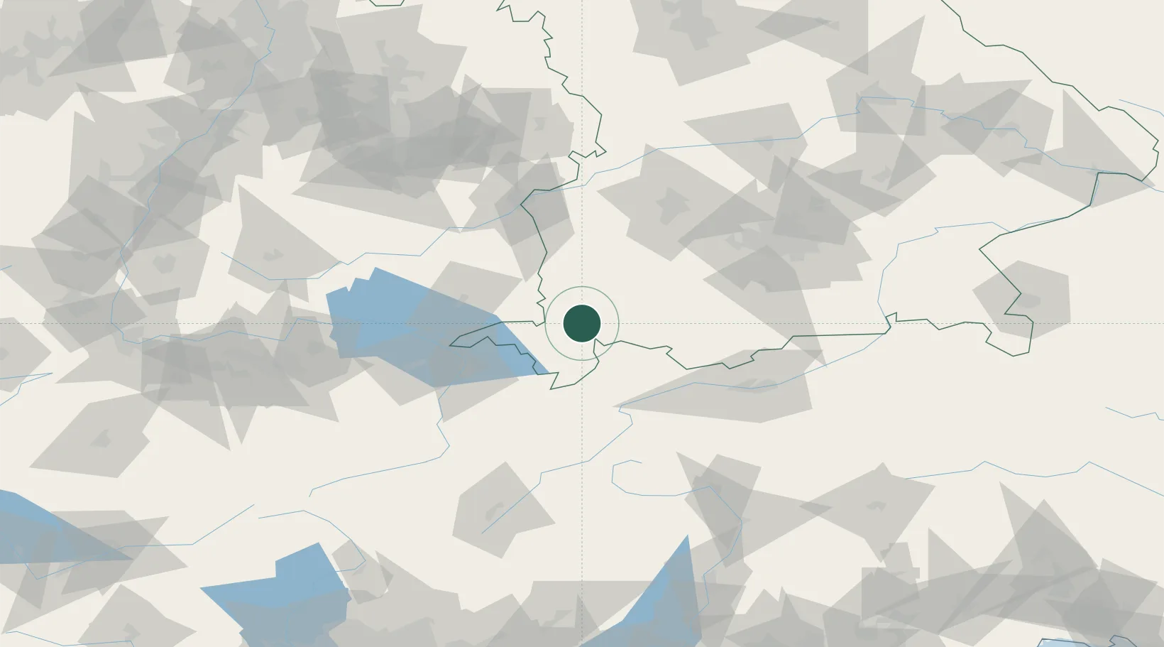
Hub Profile
Place type
Populated place
Region
Bavaria
Population
4,587
Time zone
Europe/Berlin
Elevation
714 m
Location
Nearby Logistics Neighbours
Cities
- 1Betzigau8 km
- 2Ermengerst10 km
- 3Lauben im Oberallgäu14 km
- 4Haldenwang15 km
- 5Immenstadt im Allgäu15 km
Ports
- 1Porto Di Lido-Venezia297 km
- 2Nogaro302 km
- 3Porto Di Chioggia309 km
- 4Grado314 km
- 5Monfalcone321 km
Airports
Trade Zones
- 1Livigno Free Trade Zone128 km
- 2ZFU Neuhof215 km
- 3ZFU Hautepierre223 km
- 4ZFU Mulhouse226 km
- 5Magazzini Generali Con Chiasso229 km
DatabookThe Record of Consolidated Knowledge
Germany beyond logistics?